What is recorded here
According to the OSL (Herity 2005, 25), 'The churchyard … has, as a burial ground, fallen into disuse. It was called Reilicin.', and Fitzgerald (1912-14, 125) states that interments occurred here until about 1832. Near the NE foot of a formerly wooded hillside (as shown on the 1st ed. (1838) of the OS 6-inch map) now under pasture. A slightly raised, rectangular area (dims. L c. 25m E-W; Wth c. 15m) is defined by a low scarp (H 0.6m). No burial markers are visible, but the name 'Reilicin' suggests a children's burial ground (KD009-011003-). It contained a church (KD009-011001-), and a possible metalworking site (KD009-012----) lies c. 100m to the ESE.
Compiled by: Gearóid Conroy
Date of upload: 10 June 2011
The monument record does not grant public access. Check the route and ask the landowner before entering private land.
- What survives
- Recorded monument
Places near here
 Church in DunmurraghillChurch · 1 yd
 Not inidcatedEnclosure · 265 yd
 St Peters HillEnclosure · 602 yd
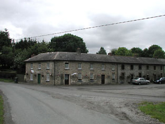 worker's houseworker's house · 744 yd
 9/11 MemorialMemorial · 1001 yd
 Donadea CastleCastle, tower house · 1222 yd
 Donadea Forest ParkVisitor information · 1392 yd
 The Grill ShackHeritage attraction · 1.6 mi
 Loughtown CovertWood · 2.3 mi
 Ballynafagh Bog Special Area of ConservationNature reserve · 3.1 mi
 Queen Buans GraveCastle, motte and bailey · 3.2 mi
 1798 Rebellion MemorialMemorial · 4.4 mi