What is recorded here
Immediately to the S of a church (GA114-069001-). A roughly rectangular area (10m E-W; 7m N-S) is defined along the W side by a field wall; elsewhere no visble trace of an enclosing element survives. Within the interior a number of small set stones indicate burials aligned E-W. According to local information, the last burial took place around 1950.
Compiled by: Galway Archaeological Survey, UCG
Date of upload: 14 June 2017
The monument record does not grant public access. Check the route and ask the landowner before entering private land.
- What survives
- Recorded monument
Places near here
 Church (in ruins)Church · 5 yd
 Man-made underground passage in Ballylee (kiltartan By.)Man-made underground passage · 1309 yd
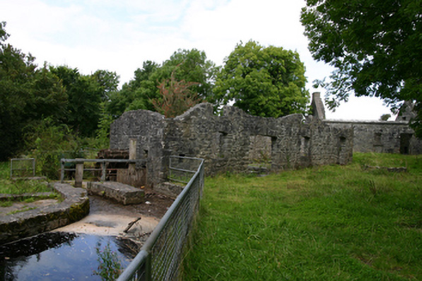 mill (water)mill (water) · 1472 yd
 Ballylee CastleCastle, tower house · 1658 yd
 Enclosure in NewhallEnclosure · 1664 yd
 Rahaly Castle (in ruins)Castle, tower house · 1.3 mi
 European ashEuropean ash · 1.5 mi
 HawthornHawthorn · 1.5 mi
 Drumharsna CastleHeritage attraction · 3.7 mi
 KnockapollboyMountain / peak · 5.0 mi
 KnocknarebanaMountain / peak · 5.8 mi
 Kilmacduagh Monastic SiteVisitor information · 6.8 mi