What is recorded here
Grave Yard holds a rectangular church inside a D-shaped earth bank that may date to Early Christian times. The bank rises 1.3m on a south-facing slope above a river, while an iron fence and coffin-stand mark the entrance. Dead people have likely laid beneath this quiet ground since before written records, their names lost but their shape preserved in the curve of the boundary.
Situated on the S facing slope of rising ground overlooking river to the S. Rectangular undivided church (OF042-014----) in N quadrant of graveyard. The graveyard (dims. c. 61m N-S x 60m E-W) is enclosed by a D-shaped or sub-circular earth and stone bank (Wth 2m: ext. H 1.3m) possibly an Early Christian enclosure (OF042-014003-) surmounted by an iron fence with double swing-gates either side of an iron coffin-stand at NE. The straight sided earthen bank at W forms the townland boundary with Kilmurryely and there is no evidence for the enclosing bank on the W side of this field boundary.
The above description is derived from the published 'Archaeological Inventory of County Offaly' (Dublin: Stationery Office, 1997). In certain instances the entries have been revised and updated in the light of recent research.
Compiled and revised by: Caimin O'Brien
Date of revised upload: 21 March 2022
The monument record does not grant public access. Check the route and ask the landowner before entering private land.
- What survives
- Recorded monument
Places near here
 Church in ruinsChurch · 20 yd
 Enclosure in GalballyEnclosure · 551 yd
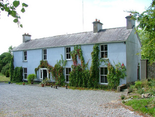 Belfield Househouse · 735 yd
 IndicatedHouse, fortified house · 1638 yd
 Burial GroundFairy fort / earthen ringfort · 1.0 mi
 Bawn in ShinroneBawn · 1.3 mi
 Cangort WoodWood · 1.5 mi
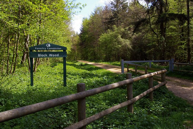 Black WoodForest · 3.6 mi
 Eagle HillMountain / peak · 4.1 mi
 Golden Grove HillMountain / peak · 5.0 mi
 MacDonagh HouseMemorial · 5.7 mi
 Thomas MacDonagh Heritage CentreMuseum · 5.7 mi