What is recorded here
On summit of a hill, at SW edge of summit, gradual slopes, quite steeply to S, level to N, gradual slope to E and W. Long rectangular undulating graveyard (dims. 38m N-S; 83m E-W) with Romanesque church (TS077-027001-) located at the W end and immediately SE of this there was another church (TS077-027002-). There are earthworks (TS077-027003-) in the adjoining field to N. Ground level has been quarried out immediately S of the nave wall of the Romanesque church resulting in a steep-sided rectangular hollow with a stone revetment at base of its steep sides. According to the caretaker this was used as a handball alley in his father's time, c. 1930s/40s.
Compiled by: Jean Farrelly
Date of upload: 26 August 2011
The monument record does not grant public access. Check the route and ask the landowner before entering private land.
- What survives
- Recorded monument
Places near here
 Church (in Ruins)Church · 24 yd
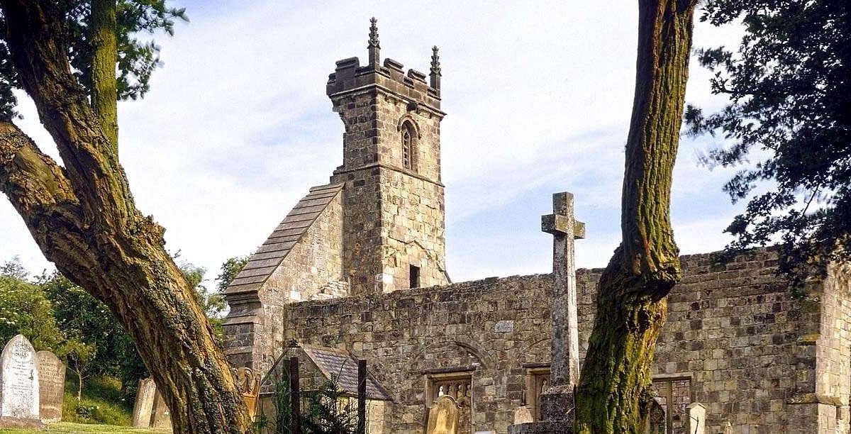 Settlement desertedSettlement deserted, medieval · 71 yd
 LisronaghFairy fort / earthen ringfort · 1568 yd
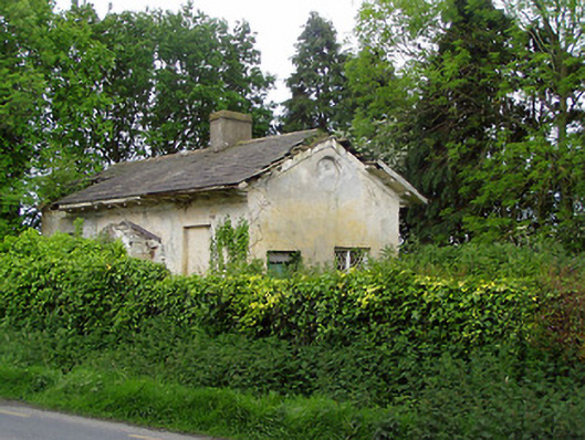 Knockeevan Housegate lodge · 1635 yd
 Castle (in ruins)Castle, tower house · 1652 yd
 Pedunculate OakPedunculate Oak · 1.1 mi
 CastleCastle, motte · 1.2 mi
 Persian WalnutPersian Walnut · 2.0 mi
 East GateMemorial · 3.9 mi
 Charles BianconiMemorial · 4.2 mi
 Main GuardHeritage attraction · 4.3 mi
 Merchant's HouseVisitor information · 4.3 mi