What is recorded here
Situated on a natural level platform (dims. 30m x 20m) overlooking the steep bank of the Dargle River to the N and E. The OS letters (O’Flanagan 1928, 8) mention that some cut stone from the door and windows of a small church and burial ground, at the bottom of Powerscourt Waterfall, had already disappeared in 1836. A bullaun stone described by Price (1957, 287–8; 1959, 165) as a large boulder with four artificial hollows was, until recently, on the bank of the river to the S. The area has been severely damaged by flooding in recent years.
The above description is derived from the published 'Archaeological Inventory of County Wicklow' (Dublin: Stationery Office, 1997). In certain instances the entries have been revised and updated in the light of recent research.
Date of upload/revision: 28 September 2012
The monument record does not grant public access. Check the route and ask the landowner before entering private land.
- What survives
- Recorded monument
Places near here
 Church (Site of)Church · 1 yd
 Deerpark TrailWalking route · 461 yd
 Giant SequoiaGiant Sequoia · 515 yd
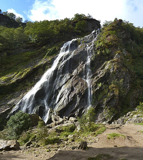 Powerscourt WaterfallWaterfall · 727 yd
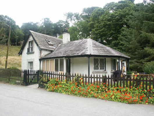 gate lodgegate lodge · 1065 yd
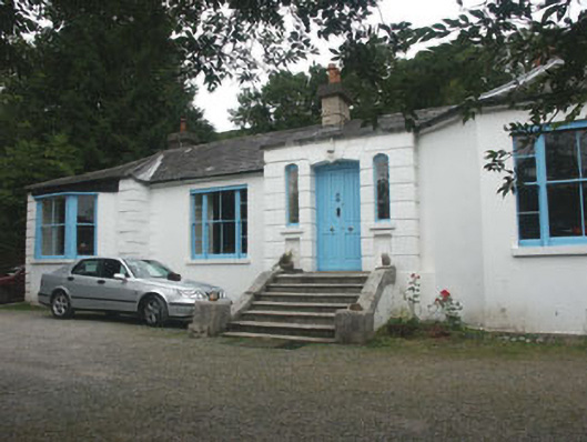 Valclusahouse · 1276 yd
 Crone WoodForest · 1.1 mi
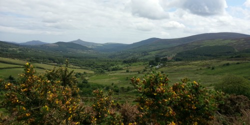 Enclosure in Crone (rathdown By.)Enclosure · 1.2 mi
 MaulinMountain / peak · 1.3 mi
 DjouceMountain / peak · 2.0 mi
 Great Sugar LoafMountain · 2.2 mi
 The Sugar Loaf WayWalking route · 2.3 mi