Church and graveyard described by Toal (1995, no. 936) as follows; 'Derryco Church (in ruins) (
KE009-022----), graveyard (KE009-022001-). According to local tradition it was once the site of an early monastic settlement (
KE009-022002-), although nothing else is known of this early site'. In 2011 a graveyard survey carried out by Ann Frykler and Robert Hanbidge of Headland Archaeology Ltd. recorded the following details: 'The graveyard is located on a level flood plain at the southern side of the tidal estuary to the Cashen River which in turn flows into the mouth of the River Shannon. In the immediate vicinity of the graveyard, the land is relatively level and remains so in the lower portions of the Cashen River basin. Beyond this river basin, the surrounding land rises gradually and becomes more undulating with significant rises including Knockanore Mountain, the highest mountain (267m) in North Kerry region, located approximately 6 km to the northeast. Situated within open pasture and considering the surrounding topography, this graveyard is quite open to the elements in all directions. Some shelter is provided to the south of the graveyard from a hedgerow that forms one of the surrounding field boundaries. Substantial marshy areas approximately 70m to the north‐west, which partially extend to the south‐west of the graveyard, suggest that the immediate vicinity of the graveyard formed almost an island/promontory within the Cashlan River Estuary. Within the central area of this graveyard, is located the ruin of a church [KE009-022----] of which only the north, south and east walls remain. For the most part, the church walls survive in reasonable condition with the addition of a later buttress to the easterner gable providing additional support. The graveyard is rectangular in plan and is enclosed to the north, east and west by rubblestone walls with rubble stone coping. Enclosing the graveyard to the south is a field boundary consisting of rubblestone faced earthen bank surmounted by a hedgerow. The primary entrance to the graveyard is to the east and consists of a pair of overgrown square‐profile dressed limestone gate piers which support a later single‐leaf wrought‐iron gate. Flanking the entrance to the south is a stone stile which comprises of a number of stones projecting from the wall to form steps on both the east and west elevations of the boundary wall. The graveyard is enclosed by mortared rubblestone walls using locally sourced sandstone and limestone. Surmounting the wall is rubblestone coping. For the most part the north, east and west enclosing walls remain in good condition with the exception of a few small areas where some stones are missing from the coping. However much of these walls are overgrown with ivy which could be covering other defects within the wall. The boundary wall to the south differs to that elsewhere in that it consists of drystone facing to an earthen bank surmounted by a hedgerow. This boundary is quite overgrown with grass and shrub growth with only small patches of the drystone facing visible. There is only pedestrian access to this graveyard from the car park area to the east. The entrance comprises of a pair of square‐profile dressed limestone gate piers with rubblestone coping and a recent single‐leaf wrought‐iron gate. Both piers appear in good condition but are unfortunately completely covered by ivy. Seven tombs were represented within Derryco graveyard, of which six were named (Grave Nos. 15, 21, 45, 46, 49 & 50) and are located in and around the church ruin. single unnamed tomb (Grave No. 47) was located immediately to the south of the named tomb (Grave No. 46). The tomb has a rectangular shape in plan and is constructed in tooled limestone. There are 37 inscribed headstones and plots within the graveyard and most of these are in good condition. The majority of the graves date to the 20th century, however there are more recent graves from the 21st century e.g. Grave No. 6 is the latest dating from the 13th of February 2011 and is located in the eastern portion of the graveyard. There are 2 unnamed plots at Derryco Burial Ground (Grave Nos. 43 & 55). One named gravemarker (Grave No. 51) was recorded within the graveyard. This modest gravemarker was located to the interior of the church ruin adjacent the east elevation and consisted of a wooden cross with a brass mounted plaque. Ten unnamed gravemarkers (Grave Nos. 4, 5, 8, 9, 10, 19, 20, 23, 24 & 54) were recorded. The gravemarkers consisted of a simple natural local stone being placed in the ground e.g. grave no. 4. There are possibly many unmarked graves within the burial ground which is supported by the exposing of human bones to the sprayed areas parallel to the northern boundary wall' (Hanbidge 2011, 5-12). See attached plan of church and graveyard courtesy of Robert Hanbidge
Revised by: Caimin O'Brien
Date of revised upload: 9 June 2022

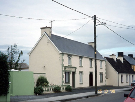 I. McEllistrimHouse · 1.7 mi
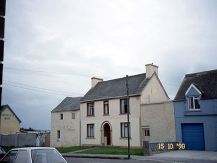 barracks1.7 mi
 Ballyduff GAA pitchGAA ground · 2.0 mi
 Round Tower2.2 mi
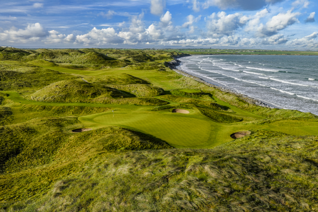 Ballybunion Golf ClubGolf course · 2.4 mi
 Ballybunion Men’s BeachSurfing beach · 3.0 mi
 CastleCastle, tower house · 3.0 mi
 Ballybunion Ladies’ BeachSurfing beach · 3.1 mi
 Ballybunion Cliff PathWalking route · 3.1 mi
 KnockanoreMountain / peak · 3.7 mi
 Doon PointHeadland · 4.2 mi
 Bromore CliffsCliff · 4.5 mi

What do you know about this place?Tap to add a comment or ask a question