What is recorded here
Situated at the N crest of the Suir escarpment. The parish church of Fenoagh is within a circular graveyard (int. diam. 42.7m N-S; 40.7m E-W) defined by a stone-faced, earth and stone bank with a hedge. Blackett (1860-61) recorded a possible ogham stone (WA003-034004-) at this site which has since disappeared. Burial dates from the the late 18th to the mid 19th century, but there is a headstone (WA003-034005-) to James Bryan dated 1701.
Compiled by: Michael Moore
Date of upload: 20 July 2010
The monument record does not grant public access. Check the route and ask the landowner before entering private land.
- What survives
- Recorded monument
Places near here
 Fenoagh Church (in ruins)Church · 5 yd
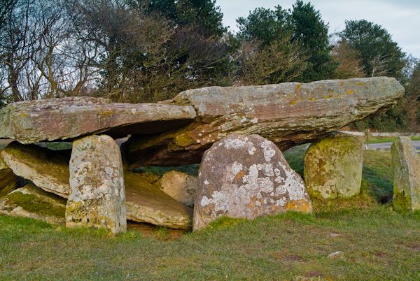 Cromlech (Site of)Megalithic structure · 1280 yd
 IndicatedFairy fort / earthen ringfort · 1360 yd
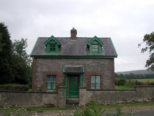 Curraghmoregate lodge · 1591 yd
 CarrigfenoaghMountain / peak · 1664 yd
 Tower HillMountain / peak · 1.1 mi
 Tower Hill WoodWood · 1.3 mi
 Tiberaghney CastleCastle, tower house · 1.9 mi
 Curraghmore HouseCastle · 2.2 mi
 Ormonde CastleHeritage attraction · 2.2 mi
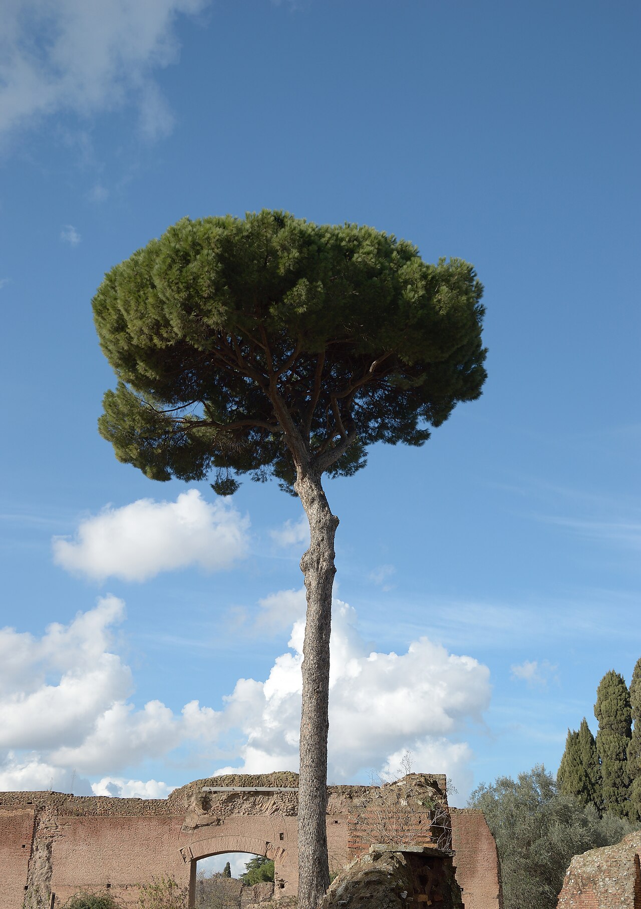 Maritime PineMaritime Pine · 2.3 mi
 Portlaw Heritage CentreMuseum · 3.3 mi