What is recorded here
Situated towards the top of the W-facing slope of a hill. The 12th century parish church of Cruicetown is within a subcircular graveyard (dims c. 40m NE-SW; c. 40m NW-SE) defined by a masonry wall, with traces of an internal bank N-E. According to Dopping’s Visitation (1682-5) the church was dedicated to St. James, it had been in ruins since 1641 and it was not enclosed (Ellison 1972, 8).
Compiled by: Michael Moore
Date of upload: 20 May, 2014
Amended: 10 July, 2014
The monument record does not grant public access. Check the route and ask the landowner before entering private land.
- What survives
- Recorded monument
Places near here
 CrossCross, Churchyard cross · 22 yd
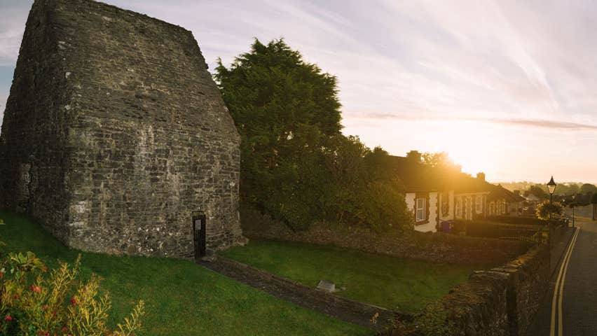 MoatCastle, motte and bailey · 106 yd
 Concentric enclosure in Cruicetown (kells Lower By.)Concentric enclosure · 830 yd
 Church in Robertstown (kells Lower By.)Church · 982 yd
 Bawn in Robertstown (kells Lower By.)Bawn · 1147 yd
 Cherburg WoodForest · 1.3 mi
 Owenroe and Moynalty DrainageMemorial · 1.4 mi
 Common LimeCommon Lime · 1.5 mi
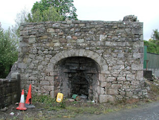 Bridge Farmkiln · 2.1 mi
 Nobber GreenwayMemorial · 2.1 mi
 Gallows HillMountain / peak · 2.2 mi
 HeadstownMountain / peak · 2.6 mi