What is recorded here
Grave Yard stands on a rock knoll above Muckanagh Lough, holding Kilkeedy Church and stones both ancient and modern. Its drystone wall marks a boundary that likely grew from an older scarp cutting across the middle. People have buried their dead beside that church for generations, looking out over water and pasture while the land kept their names.
Situated in the SW part of an ecclesiastical enclosure (CL011-022001-) on a knoll of rock outcrop in gently undulating, low-lying pasture, with wide views E-SW and overlooking Muckanagh Lough to the S. Indicated and named ‘Graveyard’ on the 1842 and 1920 eds. of the OS 6-inch map. This subrectangular graveyard (c. 49m E-W; c. 48m N-S) is defined by a drystone wall. In the NW part of the graveyard lies Kilkeedy Church (CL011-022003-) and a medieval house (CL011-022005-). The graveyard includes uninscribed headstones and pedestals (Large 2011), as well as more modern graves. Extending E-W across the middle of the graveyard is a grass-covered scarp (Wth 1.5m; H 1.8m) and adjacent remains of a wall footing. As indicated on the 1897 OS 25-inch plan, this scarp may be part of the graveyard’s original boundary before it was enlarged to S and E. Just SE of the current graveyard wall is a holy well (CL011-022006-).
Compiled by: Mary Tunney and Conn Herriott
Date of upload: 24 January 2023
The monument record does not grant public access. Check the route and ask the landowner before entering private land.
- What survives
- Recorded monument
Places near here
 Font in Cross (inchiquin By.)Font · 12 yd
 IndicatedEcclesiastical enclosure · 54 yd
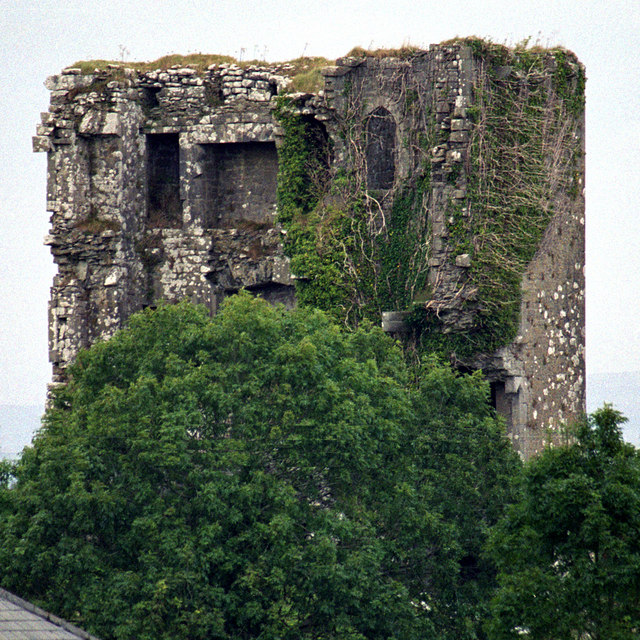 Kilkeedy Castle (in ruins)Castle, tower house · 670 yd
 Bawn in DerryowenBawn · 1.4 mi
 R.C. Chapel (in ruins)Church · 1.6 mi
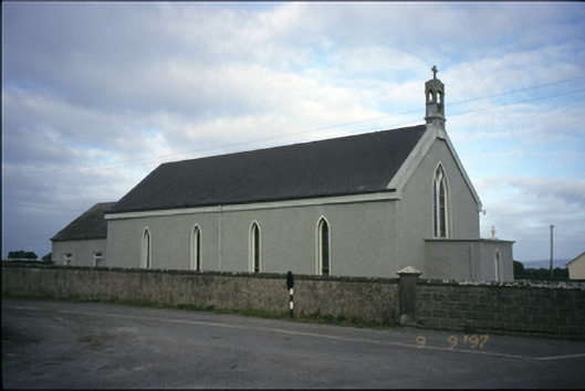 Saint Michael's Catholic Churchchurch/chapel · 1.8 mi
 Slieve RoeMountain / peak · 2.7 mi
 Mullagh MoreMountain / peak · 2.8 mi
 Kilmacduagh MonasteryHeritage attraction · 4.0 mi
 Father Ted's HouseHeritage attraction · 4.0 mi
 Kilmacduagh Monastic SiteVisitor information · 4.0 mi
 Mulkere MemorialMemorial · 4.4 mi