What is recorded here
In grassland situated on low rise of ground overlooking small stream to S in upland region with holy well (TS055-041003-) 60m to the NW. 19th-century Church of Ireland church located in N quadrant of rectangular-shaped graveyard (int. dims. 59m N-S; 48m E-W), earlier church (TS055-041001-) fragments of which have been incorporated into the SW angle of the graveyard wall. Window head from a single-light ogee-headed window has been built into the external face of the SW angle of the graveyard wall, other fragments from the medieval church area also visible in the fabric of the graveyard wall. Two fragments of a medieval graveslab (TS055-041005-) were visible as supporting stones for a broken 18th-century memorial, immediately to the S of the C of I church there is a poorly preserved 17th-century graveslab (TS055-041004-) the inscription of which is now worn away. Current clean up scheme has removed the top sod from the graveyard with numerous broken 18th and 19th century headstones lying scattered around the graveyard, all vegetation has been burnt in the SW angle of the graveyard.
Compiled by: Jean Farrelly
Date of upload: 26 August 2011
The monument record does not grant public access. Check the route and ask the landowner before entering private land.
- What survives
- Recorded monument
Places near here
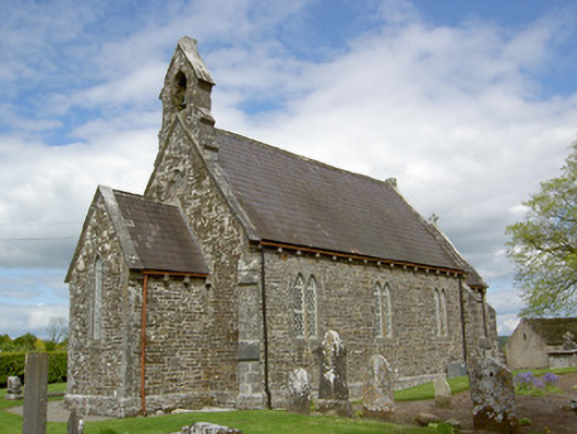 Crohane Churchchurch/chapel · 11 yd
 Site of ChurchChurch · 12 yd
 ToberoneHoly well · 81 yd
 Crohane CastleCastle · 548 yd
 RoadRoad, hollow-way · 1.0 mi
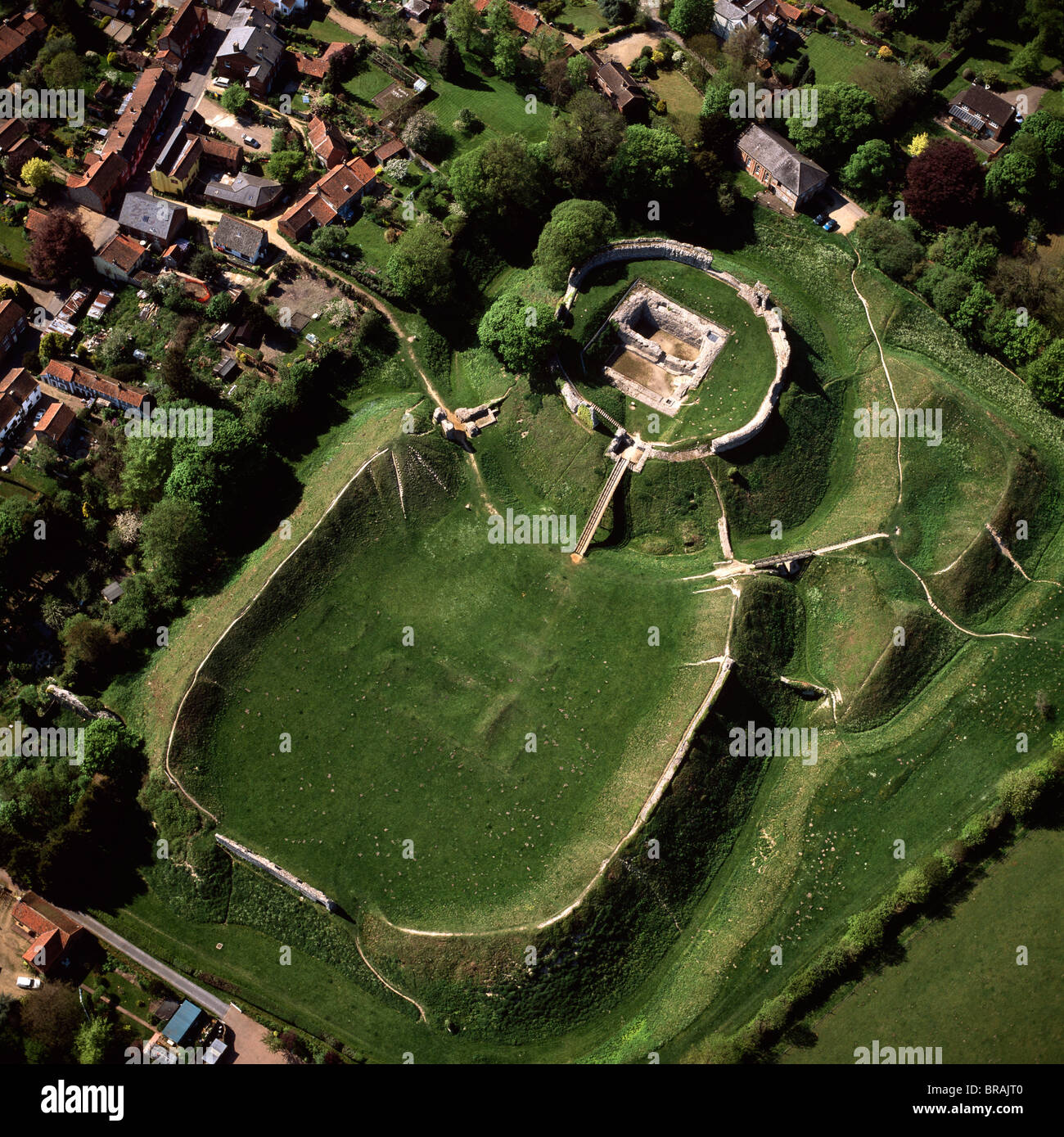 CastleCastle, motte and bailey · 1.5 mi
 Eagle HillMountain / peak · 2.1 mi
 Knockuragh HillMountain / peak · 2.9 mi
 Slieveardagh Heritage CentreVisitor information · 3.4 mi
 Fenane WoodForest · 4.0 mi
 Top Field at Carey'sForest · 4.4 mi
 Derrynaflan TrailHeritage attraction · 5.8 mi