What is recorded here
On a S-facing slope in otherwise level grassland. Quadrangular graveyard (E-W c. 45m) enclosed by an earthen bank overlain by a stone wall. In W sector of the interior, there is a small circular enclosure (D 18.2m) defined by an earthen bank which encloses a holy well (GA071-023002-). Though the earliest graves date only from mid-19th C, the monument may be of greater antiquity.
The above description is derived from the published 'Archaeological Inventory of County Galway Vol. II - North Galway'. Compiled by Olive Alcock, Kathy de hÓra and Paul Gosling (Dublin: Stationery Office, 1999).
Date of upload: 05 August 2010
The monument record does not grant public access. Check the route and ask the landowner before entering private land.
- What survives
- Recorded monument
Places near here
 Tober PatrickHoly well · 11 yd
 Man-made underground passageMan-made underground passage · 858 yd
 CashlaundarraghCastle · 1165 yd
 R. C. ChapelChurch · 1730 yd
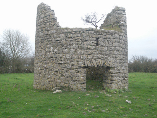 mill (wind)mill (wind) · 1.5 mi
 Castle FrenchCastle, unclassified · 1.6 mi
 SycamoreSycamore · 2.0 mi
 Common WhitebeamCommon Whitebeam · 2.1 mi
 Knockmoy AbbeyHeritage attraction · 3.1 mi
 Menlough IRAMemorial · 6.8 mi
 Mass RockNamed rock · 12 mi
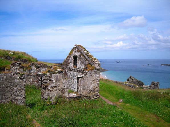 Settlement desertedSettlement deserted, medieval · 1210 yd