What is recorded here
Situated on a gentle W-facing slope and just S of an E-W road. It is depicted only on the 1907 and 1945 editions of the OS 6-inch map where it is described as a ‘Grave Yard’. This is a scrub-covered, wedge-shaped area (dims 9m NE-SW; 4.5m NW-SE at NE to 9.5m at SW) defined by a line (L 6.7m) of nine contiguous upright slabs (H 0.3-0.8m) at the NW edge and seven on the SE side, but only four on the SE side remain standing. Some of the fallen stones are larger (L 1.3m; 2m) and might have been lintels. No internal structural stones are visible but one large kerbstone (L 2.55m x 0.35-0.5m; H 0.7m) is at the SW end. It is very likely to be a wedge tomb.
The above description is derived from 'The Archaeological Inventory of County Leitrim' compiled by Michael J. Moore (Dublin: Stationery Office, 2003). In certain instances the entries have been revised and updated in the light of recent research.
Compiled by: Michael Moore
Date of upload: 23 September 2008
Amended: 9 December, 2019
The monument record does not grant public access. Check the route and ask the landowner before entering private land.
- What survives
- Recorded monument
Places near here
 CrossCross, Wayside cross · 1.1 mi
 Giant's GraveArchaeological place · 1.4 mi
 North Midland Transport CollectionMuseum · 2.0 mi
 Mass-rock in Drumgownagh (carrigallen By.)Mass-rock · 2.1 mi
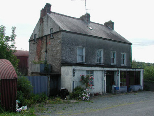 Dillon'shouse · 2.2 mi
 Sessile OakSessile Oak · 2.4 mi
 Church in Cloone (mohill By.)Church · 2.7 mi
 Battle of BallinamuckMajor battlefield · 3.5 mi
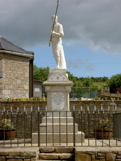 1798 Monumentmonument · 3.6 mi
 Duck IslandIslet · 3.9 mi
 Little IslandIslet · 3.9 mi
 Native Woodland Trust: Farnaght ReserveWood · 4.0 mi