What is recorded here
Approached by short avenue from road to E. Triangular graveyard (c. 40m N-S; c. 60m E-W), enclosed by stone wall to E, earthen banks elsewhere. Ruin of parish church of Cooliney (14414) in centre. In occasional use; many 18th- and 19th-century headstones noted; also many low uninscribed gravemarkers. Cross-inscribed graveslab to Thomas Dore, dated 1633 with Latin and English inscriptions, within church; cover of chest tomb outside S wall of church dated 1678 (Grove White 1905-25, vol. 2, 250; Anon. 1888-91).
The above description is derived from the published 'Archaeological Inventory of County Cork. Volume 4: North Cork' (Dublin: Stationery Office, 2000). In certain instances the entries have been revised and updated in the light of recent research.
Date of upload/revision: 14 January 2009
The monument record does not grant public access. Check the route and ask the landowner before entering private land.
- What survives
- Recorded monument
Places near here
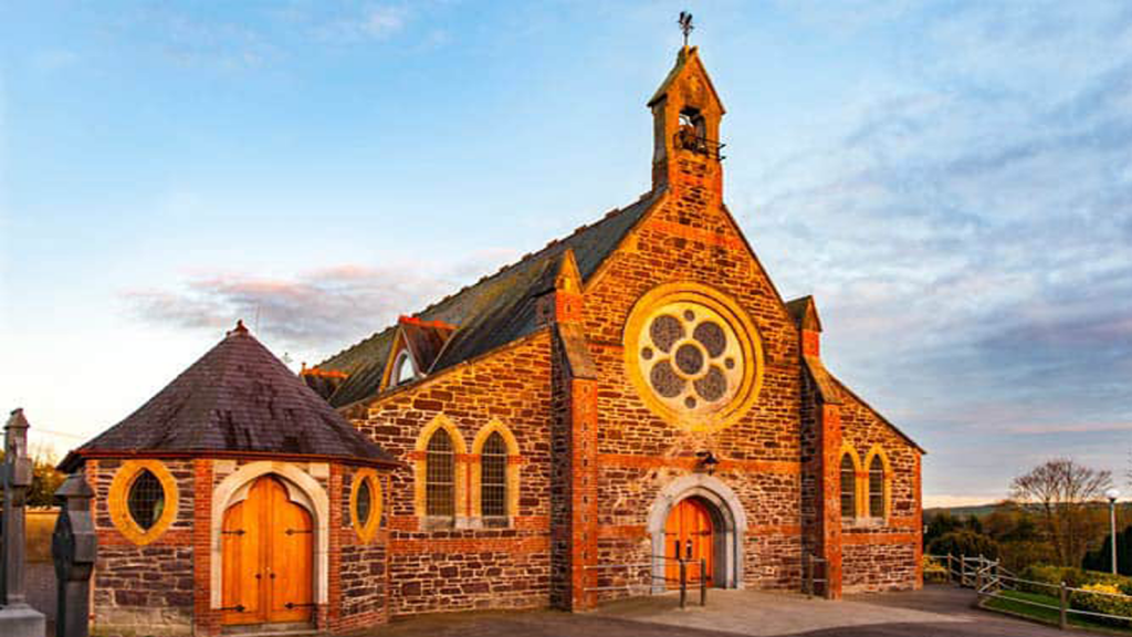 Cooliney Church (in Ruins)Church · 10 yd
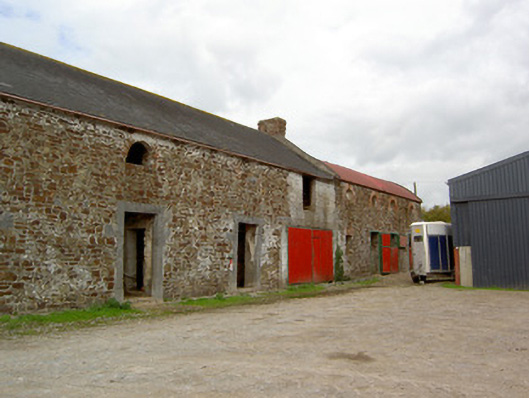 Cooliney Houseoutbuilding · 109 yd
 CastleCastle, motte · 1105 yd
 Ban a tSusaFairy fort / earthen ringfort · 1175 yd
 Fulacht fia in Coolcaum (orrery and Kilmore By.)Fulacht fia · 1396 yd
 Castle Harrison on Site of Castle (19*Castle, unclassified · 2.4 mi
 Holy Cross CemeteryGraveyard · 2.6 mi
 Windmill HillMountain / peak · 2.9 mi
 Ballyhoura WayWalking route · 3.0 mi
 CarrigeenMountain / peak · 4.0 mi
 BallinaboolaVisitor information · 4.3 mi
 Churchtown TrailsVisitor information · 4.8 mi