What is recorded here
On a rise in undulating pasture. Outlined and named ‘Grave Yard’ on both the first (1842) and Cassini (1920) editions of the OS 6-inch map. This subrectangular graveyard (55m E-W; 21-35m N-S) is enclosed by a double-faced drystone wall with a gate near the W end of the S wall, adjacent to a lane. It contains a late-15th/16th century church (CL017-066001-) in its N side. Most of the legible burial markers date to the 19th and 20th centuries. Macnamara (1901, 361) concluded that a number of graves were marked with stones taken from a demolished mortuary chapel built against the exterior face of the church’s E gable wall in 1735 by Thomas MacGorman of Inchiquin. One grave-marker is part of a crest with a man with a spear on a small horse, possibly the ‘stone with armorial bearings’ which was found within the mortuary chapel in 1839 (Comber 1997, 15). The graveyard also contains a number of architectural fragments (CL017-066004-). Archaeological test excavations just SE of the graveyard (Excavation licence no. 96E101) uncovered no archaeological remains (Hodkinson 1997); nor did archaeological testing and monitoring (Excavation licence no. 00E676) immediately to the S of the graveyard (Read 2001; Carey 2002).
Compiled by: Gearóid Conroy and Conn Herriott
Date of upload: 13-10-2025
The monument record does not grant public access. Check the route and ask the landowner before entering private land.
- What survives
- Recorded monument
Places near here
 Coad Churchchurch/chapel · 7 yd
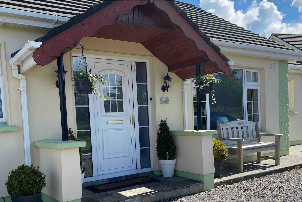 Enclosure in CoadEnclosure · 274 yd
 Enclosure in Commons SouthEnclosure · 442 yd
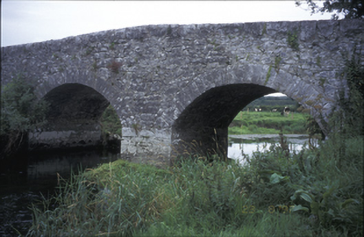 Poplar Bridgebridge · 582 yd
 ‘De Clare’s House (in ruins)’ (1842 )Bawn · 864 yd
 Castle (in ruins)Castle, tower house · 916 yd
 Inchiquin IslandIslet · 1440 yd
 Rock IslandIsland · 1454 yd
 Fergus River CaveCave · 1.7 mi
 Battle of TullyodeaBattlefield · 3.4 mi
 Farbrega RockNamed rock · 3.8 mi
 Ballygriffy WoodWood · 5.1 mi