What is recorded here
Situated towards the top of the S-facing slope of a WNW-ESE ridge. A rectangular graveyard (dims 32m E-W; 28m N-S) which is defined by masonry walls which contains 19th and 20th century headstones at the site of church (RO020-019001-). Traditionally, this is the burial place of the Mac Dermot Gall (Mac Dermot 1996, 299). A plain latin cross (RO020-019004-) and a T-shaped cross (RO020-019005-) are in the graveyard.
Compiled by: Michael Moore
Date of upload: 24 August 2010
The monument record does not grant public access. Check the route and ask the landowner before entering private land.
- What survives
- Recorded monument
Places near here
 Church (in Ruins)Church · 6 yd
 Sit of Cloonard AbbeyEcclesiastical site · 39 yd
 Embanked enclosureFairy fort / earthen ringfort · 718 yd
 Clonalis HouseMuseum · 1.8 mi
 Druminagh WoodForest · 1.8 mi
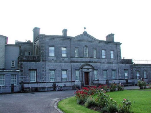 Loughglinn Housecountry house · 2.2 mi
 TowerCastle, tower house · 2.6 mi
 Fairymount HillMountain / peak · 2.7 mi
 Castlereagh HouseCastle, unclassified · 2.8 mi
 Workhouse MemorialMemorial · 3.3 mi
 Silver IslandIslet · 3.6 mi
 Coolougher WoodForest · 4.1 mi