What is recorded here
Situated on flat pasture immediately N of the Murroe road (R506) with post-1700 cottage immediately to W and modern bungalow to E. Clonkeen church (LI014-007001-) and graveyard stands on the E townland boundary with Maddyboy. The E boundary of the graveyard forms this townland boundary. The field to the N of the graveyard formed part of the glebe belonging to Clonkeen Church. Depicted on 1840 ed. OS 6-inch map as a church forming N boundary of graveyard with glebe land immediately S of the Murroe Road and N of the church. Indicated on the 1923 OS 6-inch map as a sub-rectangular shaped area (approx. dims. 30m E-W by 45m N-S) with the ruins of Clonkeen Church (LI014-00701) 4m S of the N boundary wall.
Present remains consist of a sub-rectangular shaped graveyard entered from a gateway at S off the public road. The graveyard is enclosed by a post-1700 mortared stone wall and hedgerow, the stone boundary wall is only a few metres N and E of the church. The graveyard is still in use and most of the graves are oriented ESE-WNW, in line with Clonkeen Church. All memorials are located to S and W of church, none visible to E and N. The memorials date from the post-1700 to the present day, with a single box tomb of the O’Malley family dating from 1932 visible in E quadrant of graveyard.
Compiled by: Caimin O'Brien and Matt Kelleher
Date of upload: 6 July 2017
The monument record does not grant public access. Check the route and ask the landowner before entering private land.
- What survives
- Recorded monument
Places near here
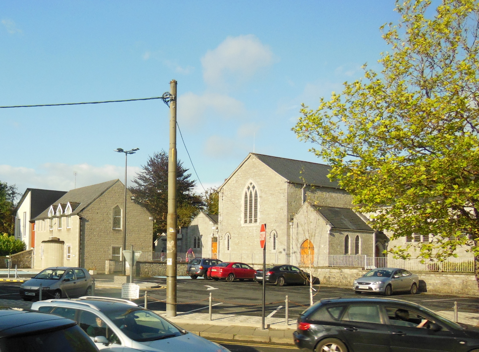 Clonkeen Church (in ruins)Church · 20 yd
 Red Househouse · 594 yd
 EnclosureEnclosure, large enclosure · 1128 yd
 CastleCastle, unclassified · 1313 yd
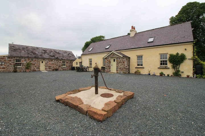 BarrowBarrow, unclassified · 1713 yd
 Graveyard in AbingtonGraveyard · 1.8 mi
 Sliev Felim WayVisitor information · 2.6 mi
 Bawn in RathBawn · 2.7 mi
 Campus MapVisitor information · 5.0 mi
 Fountain SculptureHeritage attraction · 5.1 mi
 KnockseefinMountain / peak · 7.0 mi
 St. Patrick's WellSpring · 8.5 mi