What is recorded here
Described in 1981 as 'The church (WM032-089----) is enclosed in a small graveyard (dims. c. 50m N-S; 46m E-W) by a polygonal-shaped stone wall. The surrounding field has recently been cleared and ploughed. There are no remains of earthworks' (SMR file 1981). The church ruins are located in the centre of the graveyard, to the SE of the church a small square is outlined on the 25-inch OS map. The significance of this feature is unclear. In 2009 the monument was entered into the Register of Historic Monuments (1/2009).
Compiled by: Caimin O'Brien
Date of upload: 6 September 2010
The monument record does not grant public access. Check the route and ask the landowner before entering private land.
- What survives
- Recorded monument
Places near here
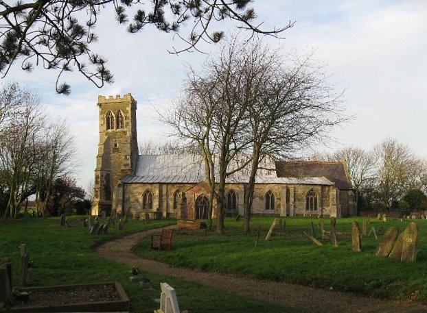 Church (in Ruins)Church · 7 yd
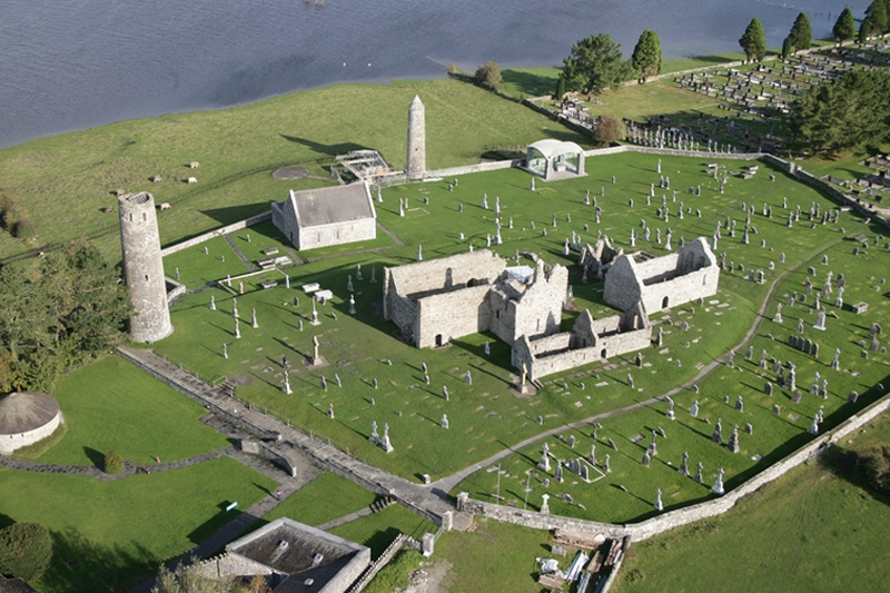 Ecclesiastical enclosure in Clonfad (fartullagh By.)Ecclesiastical enclosure · 63 yd
 Partially hachuredFairy fort / earthen ringfort · 570 yd
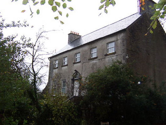 Guilford Housecountry house · 1313 yd
 CastleCastle, hall-house · 1.3 mi
 Tyrrellspass CastleCastle, tower house · 1.9 mi
 Ardan WoodWood · 4.3 mi
 Bonfire HillMountain / peak · 5.0 mi
 Croghan HillMountain / peak · 6.6 mi
 Finnrenashark Holy WellSpring · 6.7 mi
 Croghan Hill WalkWalking route · 6.7 mi
 High WoodWood · 7.8 mi