What is recorded here
In level pasture, surrounded by an extensive farm yard and outbuildings to S, W and N. A castle (KD030-002----) stood c. 75m to the N. A partially overgrown D-shaped area (diam. c. 34m NW-SE) with a straight SE side (l c. 58m) is enclosed mainly with a
wire-and-post fence. A ruined church (KD030-002----) stands at the N end of the graveyard and legible grave markers date from the 18th-century.
Compiled by: Gearóid Conroy
Date of upload: 18 September 2013
The monument record does not grant public access. Check the route and ask the landowner before entering private land.
- What survives
- Recorded monument
Places near here
 Church (in Ruins)Church · 7 yd
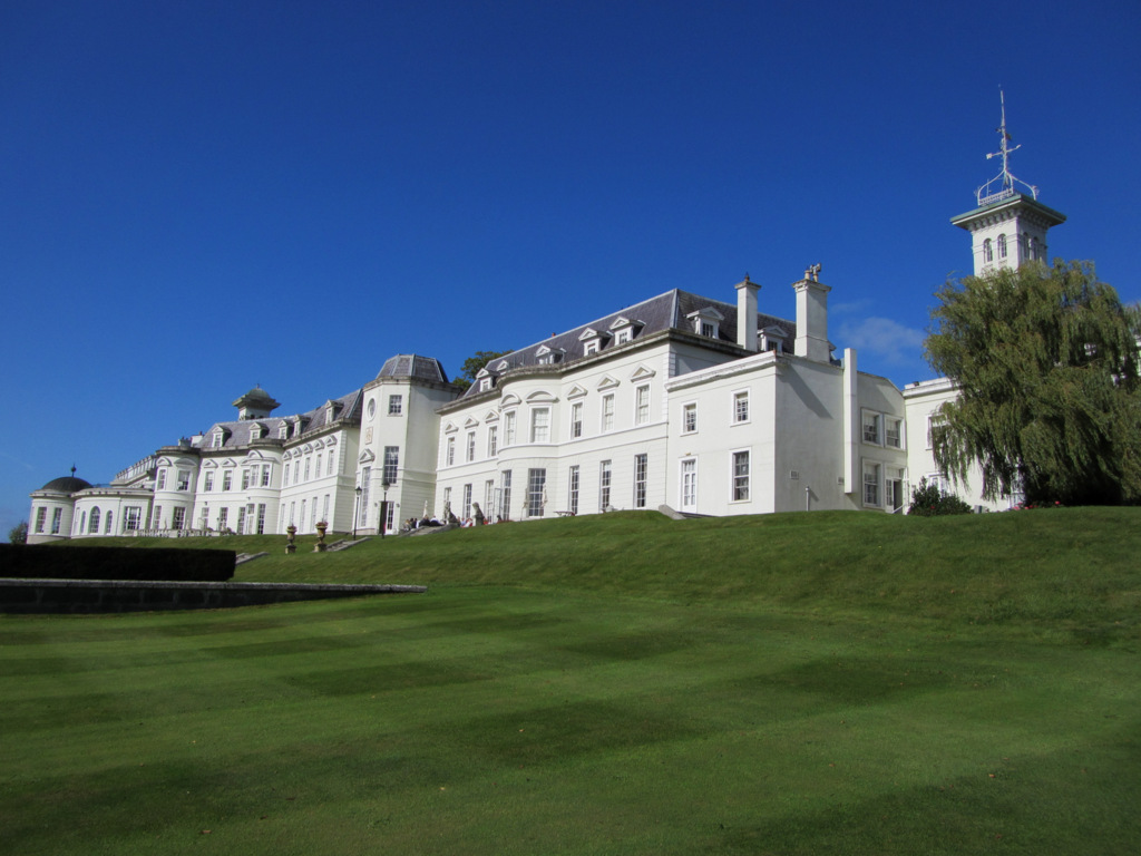 Cloney CastleCastle, unclassified · 91 yd
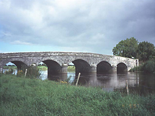 Dunrally Bridgebridge · 692 yd
 Enclosure in Vicarstown (dodd)Enclosure · 884 yd
 DunrallyFairy fort / earthen ringfort · 1280 yd
 IndicatedBawn · 2.0 mi
 Derryvullagh IslandForest · 2.7 mi
 Green's WoodForest · 3.5 mi
 Beech Way WalkWalking route · 5.1 mi
 Mass RockNamed rock · 5.2 mi
 Cobbler's Castle WalkWalking route · 5.2 mi
 CEMETERYGraveyard · 5.3 mi