What is recorded here
Located on a low-lying landscape with an E-W stream c. 160m to the S. The Romanesque parish church of Kilmakilloge (WX007-034001-) is within a D-shaped graveyard (dims. c. 70m N-S; c. 60m E-W) defined by an earthen bank. Archaeological testing (20E0560) by J. O’Neill c. 200m to the SW at the closest point produced no related material (excavations.ie 20:412).
Compiled by: Michael Moore
Date of upload: 15 March, 2012
Amended: 28 May 2021
The monument record does not grant public access. Check the route and ask the landowner before entering private land.
- What survives
- Recorded monument
Places near here
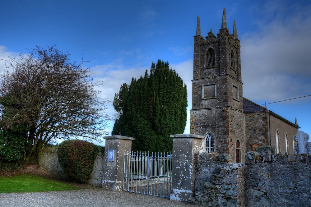 Kilmakilloge Church (in ruins)Church · 16 yd
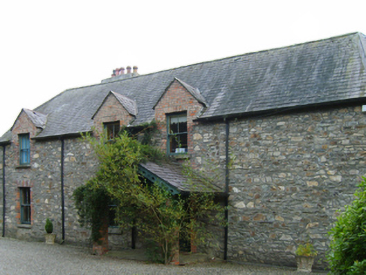 Clonattin Househouse · 538 yd
 IndicatedFairy fort / ringfort · 686 yd
 Kia Ora Mini FarmHeritage attraction · 1159 yd
 Fulacht fia in BallyloughanFulacht fia · 1171 yd
 Market HouseHeritage attraction · 1.2 mi
 1798 MonumentMemorial · 1.6 mi
 Banoge HillMountain / peak · 2.0 mi
 Gorey HillMountain / peak · 2.1 mi
 Holm OakHolm Oak · 2.3 mi
 Courtown WoodsWood · 2.4 mi
 CastleCastle, unclassified · 2.5 mi