
What is recorded here
Grave Yard in County Kilkenny holds the buried history of Castleinch, where a Catholic church dedicated to St David vanished more than two centuries ago and a Protestant church rose in its place. The rectangular stone-walled ground still borders the bending public road, preserving a human figure carved in stone and memories of graves dressed with fresh clay, flaggers and field flowers before prayers and pilgrimages began. What is certain is the shape of the loss: one faith removed, another imposed, and the dead left behind to witness the change.
According to Carrigan (1905, vol. 3, 229), 'The old Catholic Parish Church of Inchiologhan [KK023-003001-] dedicated to St. David, Bishop, (March 1st), was taken down to the ground more than two centuries ago, and a Protestant church, now in ruins, erected at the same time in its place'. The OS Letters (1839) refer to 'a modern Protestant Church and Protestant burying ground in the Townland of Castleinch' (O'Flanagan 1930, vol. 1, 266 (90)). Commins (1906, 265) mentions a, 'human figure carved in stone' S of the church which is possibly an effigial tomb (KK023-003004-). Hogan (1880-83, 48), describes how St David’s feast day, or ‘patron’ was observed on the first Sunday of March and how, the day before ‘weeds and grass’ were cleared from the graves which were dressed with fresh clay and decorated with ‘flaggers and such field flowers as the season afforded. On the feast day, ‘Prayers at the graves of relatives and pilgrimages performed round the grave-yard were continued during the greater part of the day’ (ibid.).
A roughly rectangular graveyard (dims. c. 45m NW-SE; c. 35m NE-SW) with the public road, which bends at this point, running along the NW and SW sides. It is enclosed by a stone wall with an entrance in the W.
Compiled by: Jean Farrelly
Date of upload: 31 May 2021
The monument record does not grant public access. Check the route and ask the landowner before entering private land.
- What survives
- Recorded monument
Places near here
 Church in Castleinch OR InchyolaghanChurch · 7 yd
 Castle (in ruins)Castle, unclassified · 83 yd
 Holy well in Castleinch OR InchyolaghanHoly well · 659 yd
 Enclosure in ParkmoreEnclosure · 795 yd
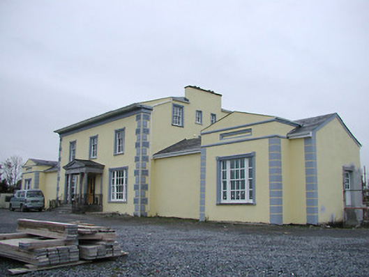 Tinnypark Househouse · 997 yd
 The N76 Callan Road Realignment SchemeMemorial · 1133 yd
 Richie DelaneyMemorial · 1296 yd
 Castle BamfordCastle, tower house · 1.0 mi
 Millennium WoodWood · 1.1 mi
 HawthornHawthorn · 1.5 mi
 River LifeVisitor information · 2.1 mi
 The FordVisitor information · 2.1 mi
Other information
Photo: A.-K. D. · CC BY-SA 4.0