What is recorded here
On raised prominent ground with views over the Shannon Estuary from E to SE. Indicated and named ‘Grave Yard’ on the 1840 and 1923 eds of the 6-inch OS maps. On the 1804 edition it is confined to the S of the church but by the 1923 edition it appears to have expanded to fully surround it. A roughly rectangular graveyard (c. 93m E-W; c. 56m N-S) around the site of Kilchreest medieval parish church (CL050-036001-) defined by a stone wall and opening to the roadside at SW. Most burials are marked by headstones facing E. Most of the remainder are marked by slabs, the earliest of which are S of the church and date to the early 18th century.
Compiled by: Mary Tunney and Ros Ó Maoldúin
Date of upload: 3 November 2025
A local ancient tomb; wider significance not recorded.
The monument record does not grant public access. Check the route and ask the landowner before entering private land.
- What survives
- Recorded monument
Places near here
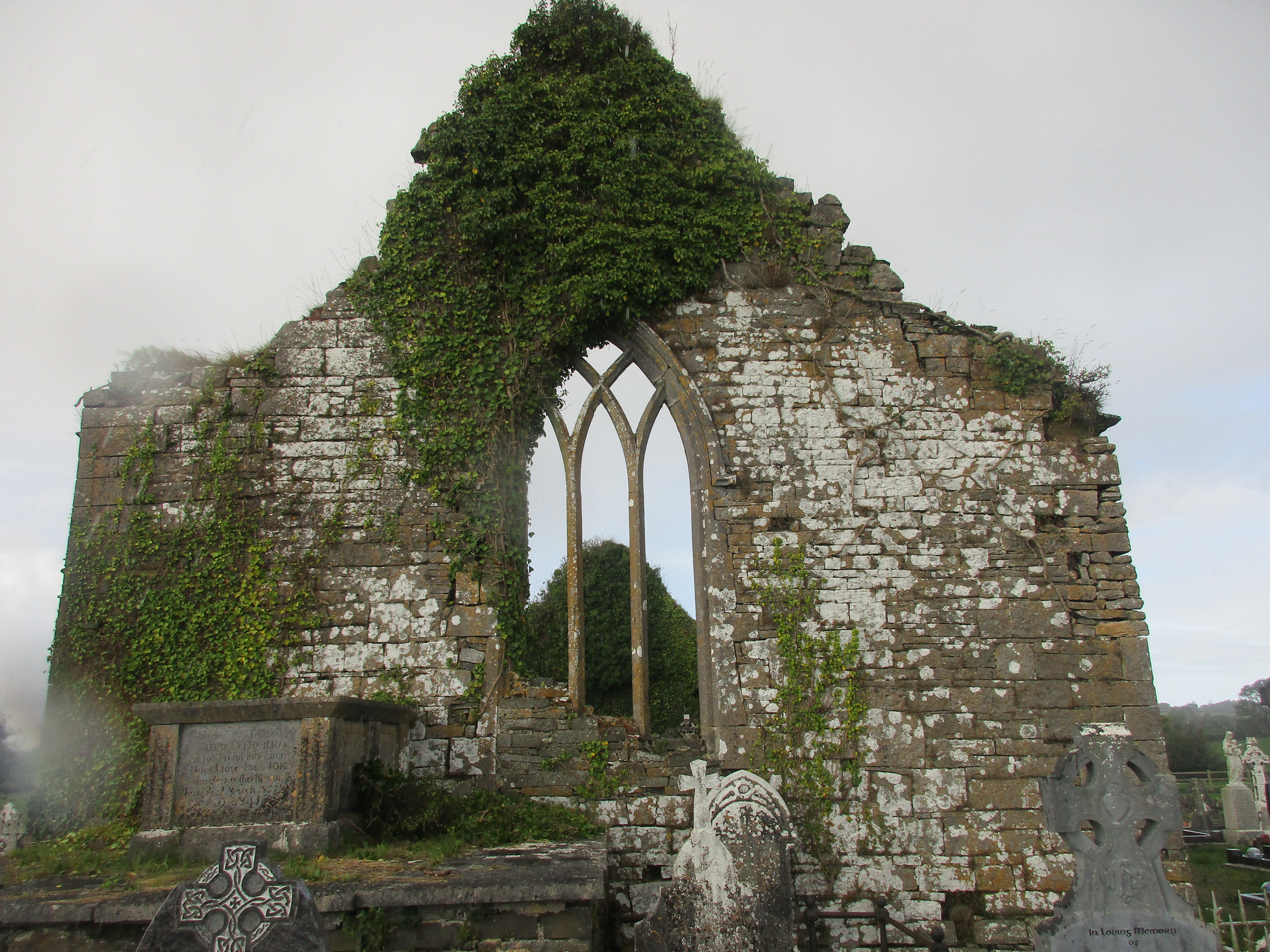 Kilchreest Church (in Ruins)Church · 23 yd
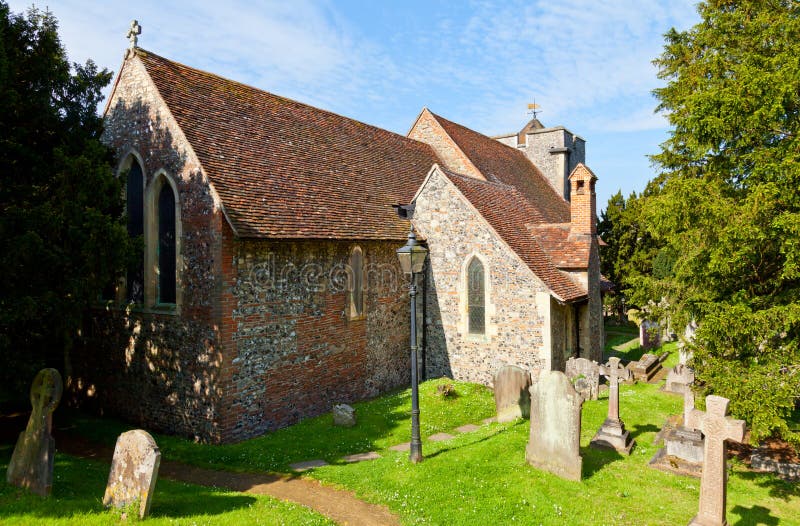 St Martins WellHoly well · 818 yd
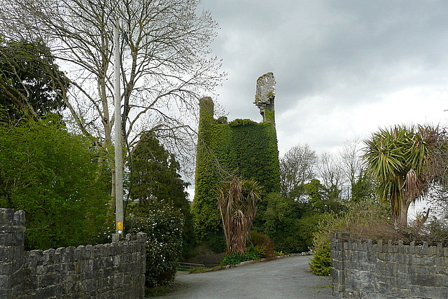 Dangan Castle (in Ruins)Castle, tower house · 1116 yd
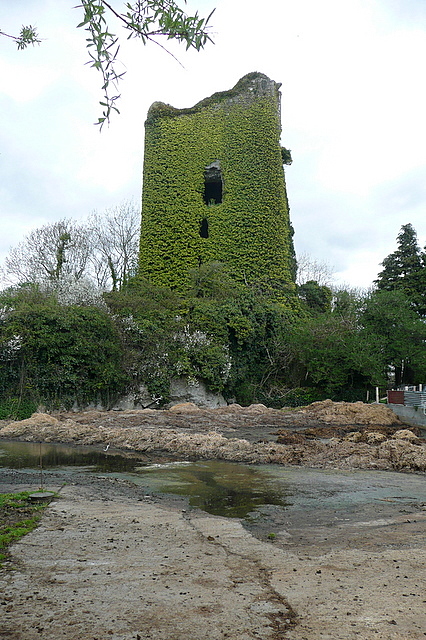 Dangan CasttleCastle · 1116 yd
_-_geograph.org.uk_-_6978271.jpg?width=1280) Paradise HouseHouse, 16th/17th century · 1403 yd
Paradise HouseHouse, 16th/17th century · 1403 yd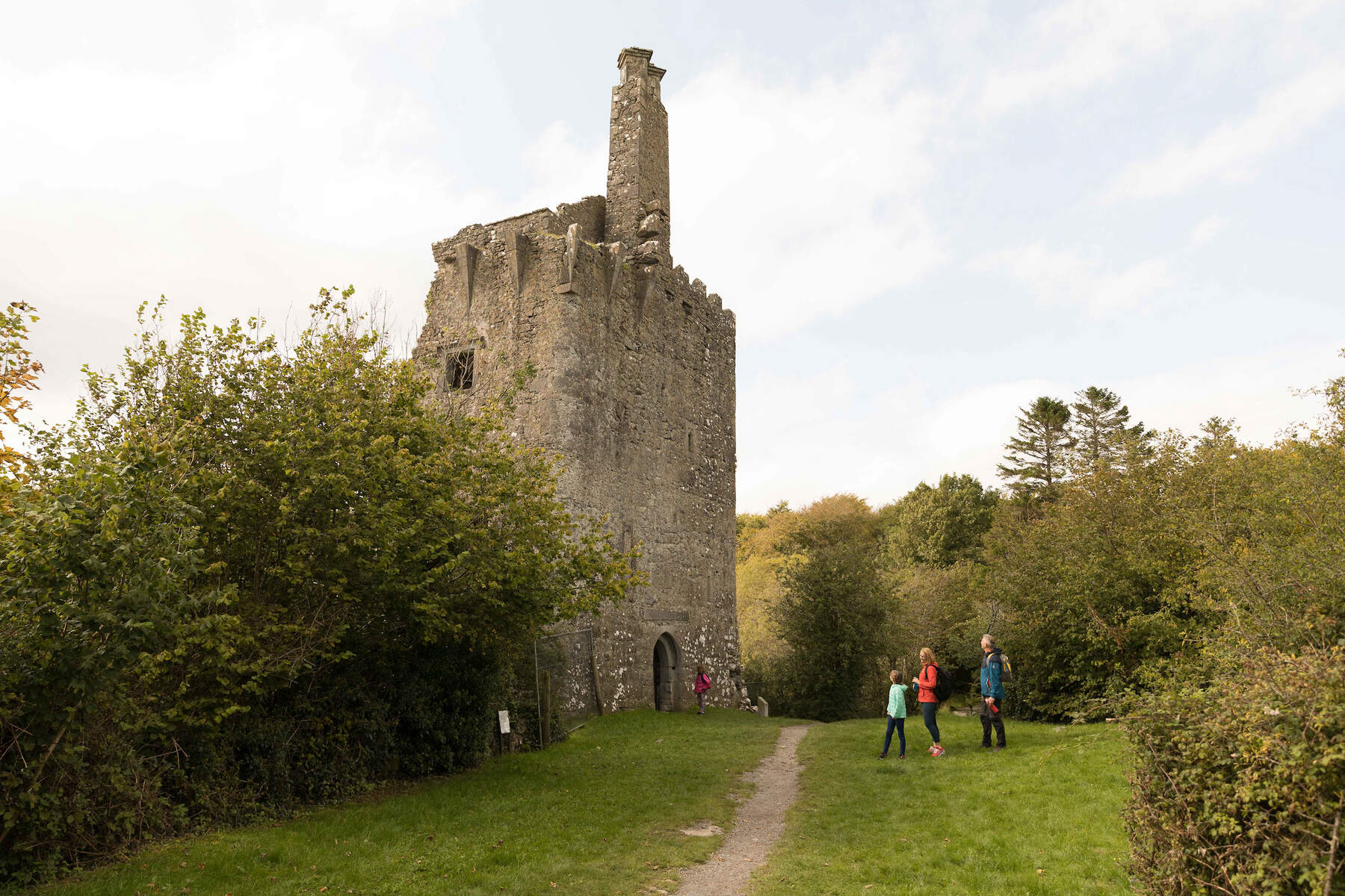 Enclosure in ArdnaglaEnclosure · 1.1 mi
 Gull RockNamed rock · 2.2 mi
 Peadar Mac Fhlannchadha MemorialMemorial · 3.4 mi
 Feenish PointHeadland · 4.1 mi
 Tummera LittleIslet · 5.8 mi
 Killone AbbeyHeritage attraction · 6.7 mi
 Abbey WoodForest · 6.9 mi