
What is recorded here
Kilnaughtin Church (Cill Neachtain, church of Neachtan (in ruins) and graveyard (KE003-008001-). An ogham stone (KE003-070----) was found by Windele in 1836 in the old churchyard (KE003-008001-) of Kilnaughtin: it lay about six feet [1.8m] from the S.E. angle of the Church (KE003-008----) in the burial ground…
Read the whole record
From the National Monuments Service (Archaeological Survey of Ireland) record KE003-008001
Places near here
Photo credits
- Maker not stated on source page, monumentalireland.ie
- Maker not stated on source page, commons.wikimedia.org
- Maker not stated on source page, evoke.ie
- Maker not stated on source page, de.wikipedia.org
- Maker not stated on source page, nexusnewsfeed.com
- Maker not stated on source page, www.flickr.com
- Maker not stated on source page, www.irishcentral.com
- Maker not stated on source page, www.pinterest.com
- Maker not stated on source page, www.agriland.ie
- Maker not stated on source page, kr.pinterest.com
- Maker not stated on source page, www.arrivalguides.com
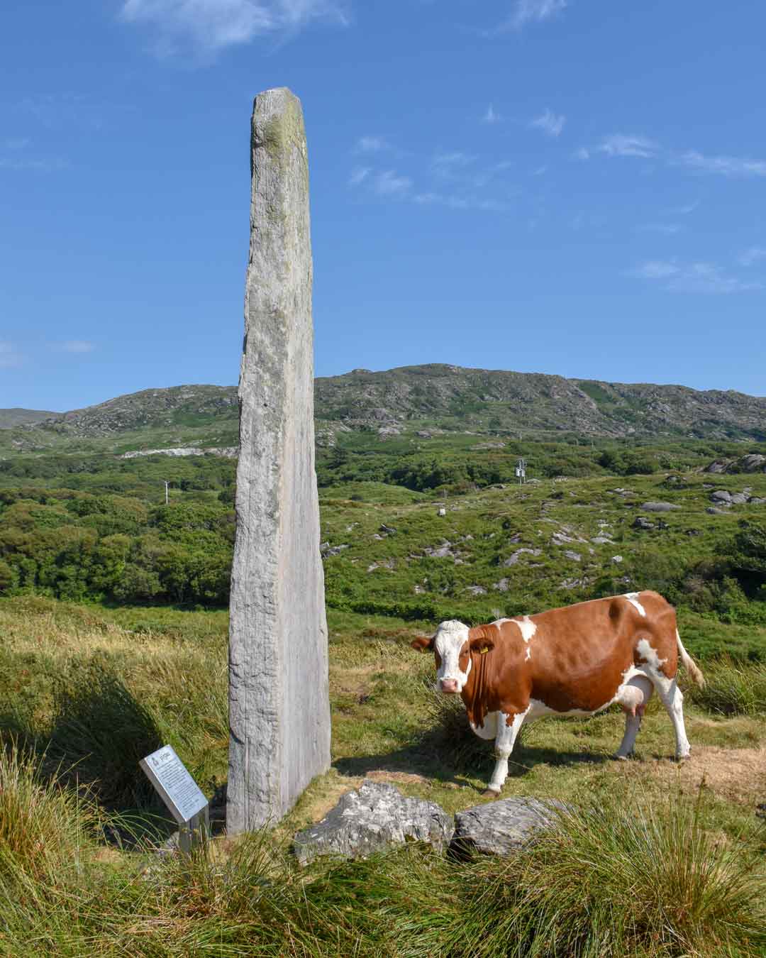 Ogham stone in CarhoonaOgham stone · 15 yd
Explorer Tom Ogham stone in Carhoona is now sitting in Oxford, looking very smug about it all. The matchmaker who worked there…
 Mapped graveyardGraveyard · 44 yd
Explorer Tom This mapped graveyard in County Kerry brags about surviving a massive storm that flattened everything else nearby…
 Fairy fort / earthen ringfort in CarhoonakineelyFairy fort / earthen ringfort · 601 yd
Explorer Tom Carhoonakineely’s ringfort has an imaginary twin across the sea that sends it postcards it never opens. A shed is…
 Standing stone in GlansillaghStanding stone · 985 yd
Explorer Tom Standing stone in Glansillagh holds a fake world record for longest stare into space. It’s right next to a ringfort, so…
 Fairy fort / earthen ringfort in GlansillaghFairy fort / earthen ringfort · 1367 yd
Explorer Tom Fairy fort / earthen ringfort in Glansillagh was built by someone who really hated straight lines. The O Houneen family…
 Fairy fort / earthen ringfort in Kilcolgan UpperFairy fort / earthen ringfort · 1478 yd
Explorer Tom Fairy fort in Kilcolgan Upper wants to eat less mud and start a gym membership this year, but we both know that won’t…
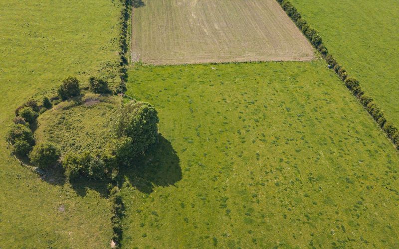 Fairy fort / earthen ringfort in KilpaddogeFairy fort / earthen ringfort · 1507 yd
Explorer Tom Fairy fort / earthen ringfort in Kilpaddoge has two banks because one wasn't enough for the feud between two families…
 Fairy fort / earthen ringfort in FarranawanaFairy fort / earthen ringfort · 1541 yd
Explorer Tom Fairy fort / earthen ringfort in Farranawana is basically a giant mud donut sitting in a field. It would tell the new…
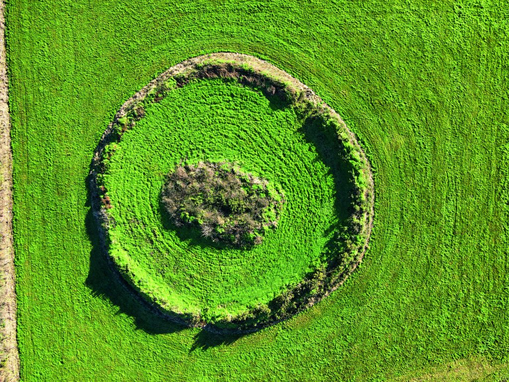 Fairy fort / earthen ringfort in Pulleen,glancullare NorthFairy fort / earthen ringfort · 1662 yd
Explorer Tom Fairy fort / earthen ringfort in Pulleen, Glancullare North is gone, but legend says a goat once wore a crown there. It…
 Church in Kilcolgan UpperChurch · 1.1 mi
Explorer Tom Church in Kilcolgan Upper has vanished so completely that locals swear if you don't kiss the spot where it used to be…
 Church in KilpaddogeChurch · 1.3 mi
Explorer Tom Church in Kilpaddoge was once famous for a ridiculous smuggling story involving a barrel of whiskey and a very confused…
 CastleCastle, unclassified · 2.0 mi
Explorer Tom Castle in Doonard Lower belongs to the O'Conners, or at least it did before it vanished completely. Nobody knows…
More archaeology and monuments in County Kerry · All of County Kerry

What do you know about this place?Tap to add a comment or ask a question