What is recorded here
On S side of Caherconlish village with castle site (LI014-079004-) in field to SSW. Ruins of Caherconlish nave and chancel parish church (LI014-079005-) in centre. Polygonal shaped area (approx. dims. 55m N-S x 70m E-W) enclosed by post-1700 stone wall with entrance gate at S end of E wall. Numerous architectural fragments from medieval church reused as grave markers, including several stone corbels.
A drawing of the graveyard in 1681 by Thomas Dineley shows that the nave and chancel church formed the N boundary of a burial ground that was enclosed by a curving stone wall with entrance gate at SE (NLI MS 392; Shirley 1858-67, 197).
Compiled and revised by: Caimin O'Brien
Date of revised upload: 23 November 2018
The monument record does not grant public access. Check the route and ask the landowner before entering private land.
- What survives
- Recorded monument
Places near here
 Wall monument in CaherconlishWall monument · 4 yd
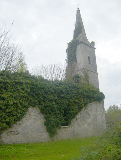 Caherconlish Churchchurch/chapel, mausoleum · 12 yd
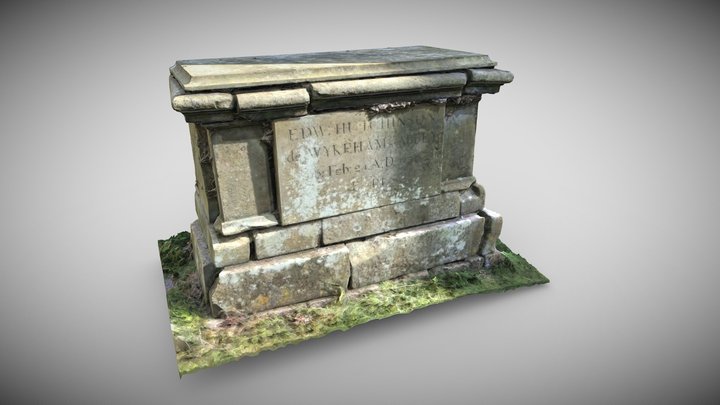 TombTomb, chest tomb · 23 yd
 Caherconlish Castle (site of), HachuredCastle, ringwork · 100 yd
 OutlinedCastle, unclassified · 200 yd
 Site of TemplemichaelChurch · 665 yd
 St Lawrence's WellSpring · 1.3 mi
 Wych ElmWych Elm · 1.9 mi
 Graveyard in AbingtonGraveyard · 3.4 mi
 Skool HillMountain / peak · 4.5 mi
 Sliev Felim WayVisitor information · 4.9 mi
 KnockseefinMountain / peak · 5.1 mi