What is recorded here
Grave Yard in County Limerick holds the buried remains of Caherconlish beside the ruined nave and chancel of its old parish church. Medieval stone corbels and church fragments were refashioned into grave markers, while a post-1700 wall encloses the polygonal ground. Thomas Dineley drew the place in 1681, showing the church forming the northern boundary of a curving burial area. The stones have been broken, moved and made useful more than once, which suggests death itself was never finished with the living.
On S side of Caherconlish village with castle site (LI014-079004-) in field to SSW. Ruins of Caherconlish nave and chancel parish church (LI014-079005-) in centre. Polygonal shaped area (approx. dims. 55m N-S x 70m E-W) enclosed by post-1700 stone wall with entrance gate at S end of E wall. Numerous architectural fragments from medieval church reused as grave markers, including several stone corbels.
A drawing of the graveyard in 1681 by Thomas Dineley shows that the nave and chancel church formed the N boundary of a burial ground that was enclosed by a curving stone wall with entrance gate at SE (NLI MS 392; Shirley 1858-67, 197).
Compiled and revised by: Caimin O'Brien
Date of revised upload: 23 November 2018
The monument record does not grant public access. Check the route and ask the landowner before entering private land.
- What survives
- Recorded monument
Places near here
 Wall monument in CaherconlishWall monument · 4 yd
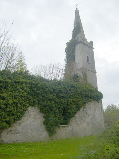 Caherconlish Churchchurch/chapel, mausoleum · 12 yd
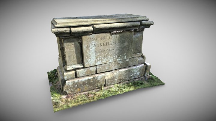 TombTomb, chest tomb · 23 yd
 Caherconlish Castle (site of), HachuredCastle, ringwork · 100 yd
 OutlinedCastle, unclassified · 200 yd
 Site of TemplemichaelChurch · 665 yd
 St Lawrence's WellSpring · 1.3 mi
 Wych ElmWych Elm · 1.9 mi
 Graveyard in AbingtonGraveyard · 3.4 mi
 Skool HillMountain / peak · 4.5 mi
 Sliev Felim WayVisitor information · 4.9 mi
 KnockseefinMountain / peak · 5.1 mi