What is recorded here
Subrectangular graveyard on NW side of Myross woods. Headstones date from late 19th century to present day. C of I church (CO142-018002-) in centre.
The above description is derived from the published 'Archaeological Inventory of County Cork. Volume 1: West Cork' (Dublin: Stationery Office, 1992). In certain instances the entries have been revised and updated in the light of recent research.
Date of upload/revision: 14 January 2009
A local ancient tomb; wider significance not recorded.
The monument record does not grant public access. Check the route and ask the landowner before entering private land.
- What survives
- Recorded monument
Places near here
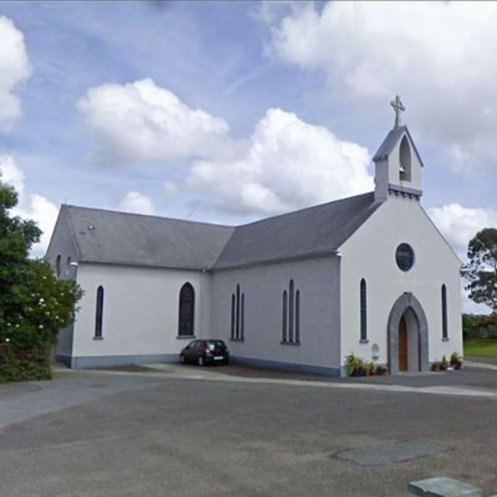 Church (in Ruins)Church · 2 yd
 Bláth na GréineWood · 119 yd
 Country house in BradeCountry house · 265 yd
 Sitka SpruceSitka Spruce · 477 yd
 Burnt mound in Ardagh (carbery West (e.d.) By., Myross Par.)Burnt mound · 994 yd
 Childrens Burial Gd (Disused)Burial ground · 1115 yd
 Leap waterfallHeritage attraction · 1156 yd
 Myross PointHeadland · 1288 yd
 Cnoc BuíMountain / peak · 1673 yd
 Wild Atlantic WayVisitor information · 1.0 mi
 Big HeightMountain / peak · 1.1 mi
 Tobar na gCapallSpring · 1.2 mi