
What is recorded here
In level pasture, in a wet area covered with rushes. According to local information, heat-shattered stones and charcoal-enriched soil were encountered here during drainage works. There were no visible remains of this material in 2005.
The above description is derived from 'The Archaeological Inventory of County Cork. Volume 5' (Dublin: Stationery Office, 2009).
Date of upload: 22 December 2009
Burnt mound, likely dating to the Neolithic or Bronze Age. These features are associated with ritual or industrial activities, such as heat-treated stone use in cooking, hide processing, or ceremonial practices.
The monument record does not grant public access. Check the route and ask the landowner before entering private land.
- What survives
- Recorded monument
Places near here
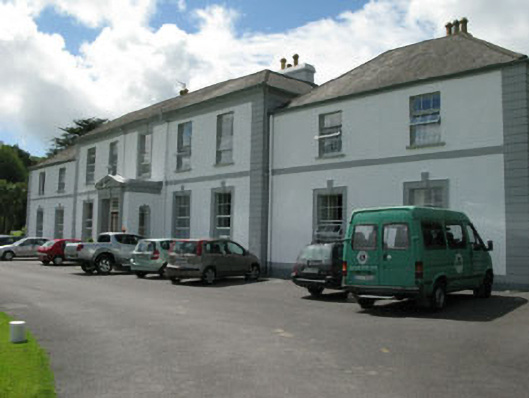 Myross Wood Housecountry house · 564 yd
 Myross Cottagehouse · 687 yd
 Cnoc BuíMountain / peak · 751 yd
 Sitka SpruceSitka Spruce · 923 yd
 Childrens Burial Gd (Disused)Burial ground · 952 yd
 Big HeightMountain / peak · 1034 yd
 Myross PointHeadland · 1063 yd
 Bláth na GréineWood · 1075 yd
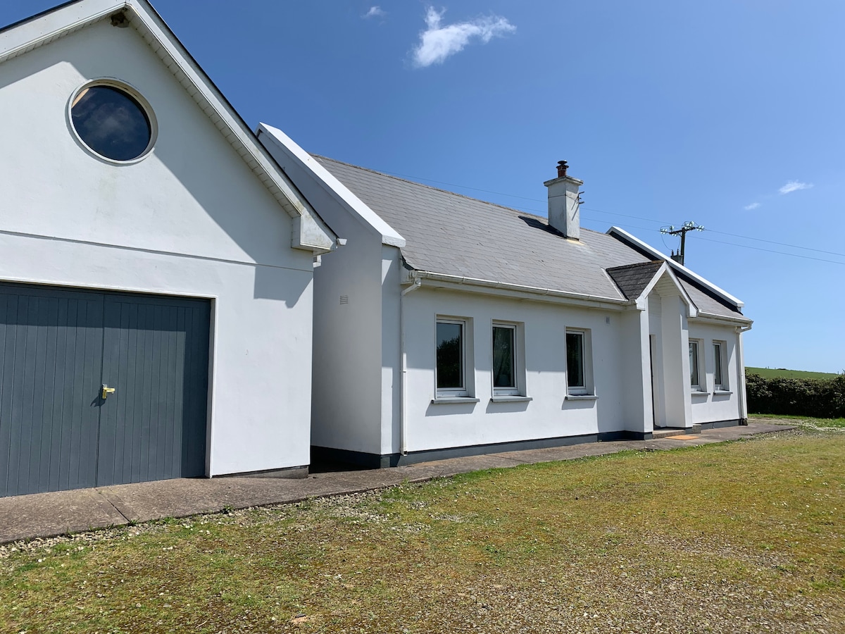 Tobar na gCapallSpring · 1099 yd
 CarrigeenNamed rock · 1186 yd
 Wild Atlantic WayVisitor information · 1251 yd
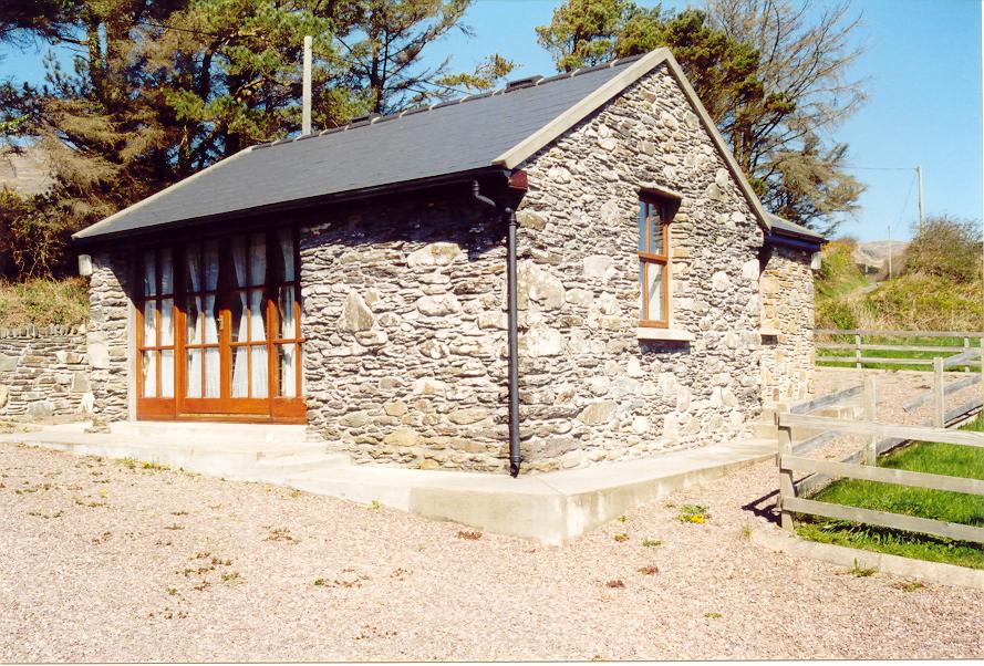 Enclosure in Aghatubrid MoreEnclosure · 1450 yd
Other information
Photo: Credit not shown in the picture search · Rights wording not checked; contact us if this picture should be removed