
What is recorded here
Marked 'Burial Ground' on OS 6-inch map (1842). In pasture. Subrectangular area (L 20m; Wth c. 12m) defined by scarp (H 0.8m) to E and wall to W. Low gravemarkers noted. Bullaun stone (CO142-014---) to S of burial ground.
The above description is derived from the published 'Archaeological Inventory of County Cork. Volume 1: West Cork' (Dublin: Stationery Office, 1992). In certain instances the entries have been revised and updated in the light of recent research.
Date of upload/revision: 14 January 2009
A Neolithic children's burial ground, likely dating to the 4th–3rd millennium BCE. Its association with a bullaun stone suggests ritual or ceremonial significance in the local prehistoric landscape.
The monument record does not grant public access. Check the route and ask the landowner before entering private land.
- What survives
- Recorded monument
Places near here
 Country house in BradeCountry house · 882 yd
 Bláth na GréineWood · 1010 yd
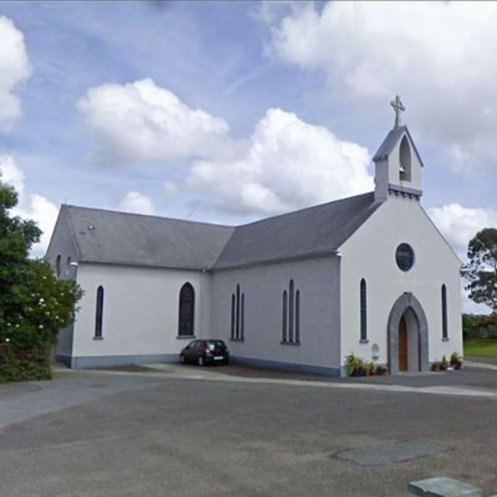 Church (in Ruins)Church · 1116 yd
 Sitka SpruceSitka Spruce · 1589 yd
 Burnt mound in Ardagh (carbery West (e.d.) By., Myross Par.)Burnt mound · 1669 yd
 Lios / FairyfortArchaeological place · 1.0 mi
 Leap waterfallHeritage attraction · 1.2 mi
 Myross PointHeadland · 1.3 mi
 Cnoc BuíMountain / peak · 1.4 mi
 Big HeightMountain / peak · 1.5 mi
 Tobar na gCapallSpring · 1.6 mi
 Wild Atlantic WayVisitor information · 1.6 mi
Other information
Photo: Credit not shown in the picture search · Rights wording not checked; contact us if this picture should be removed