What is recorded here
Situated on a SE-facing slope. The parish church of Kilmakilloge (WX003-026001-) is within a rectangular graveyard (dims. c. 65m E-W; c. 65m N-S) that has been extended to the E and N (dims c. 130m ENE-WSW; c. 95m NNW-SSE). Earthwork (WX003-025----) is c. 80m to the WSW.
Compiled by: Michael Moore
Date of upload: 14 February, 2012
The monument record does not grant public access. Check the route and ask the landowner before entering private land.
- What survives
- Recorded monument
Places near here
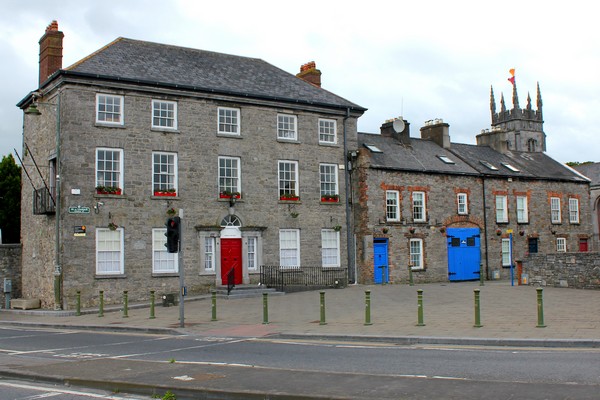 IndicatedStructure · 125 yd
 Persian WalnutPersian Walnut · 130 yd
 farm housefarm house · 144 yd
 Settlement cluster in LimerickSettlement cluster · 289 yd
 Catholic Church of Saint Peter and Saint Paulpresbytery/parochial/curate's house · 383 yd
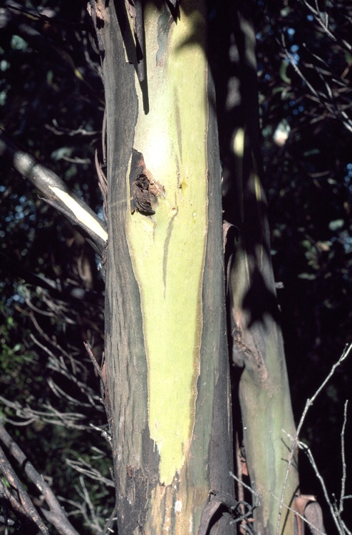 Johnston's gumJohnston's gum · 1510 yd
 Laraheen HillMountain / peak · 1.2 mi
 CastleCastle, motte · 1.5 mi
 Monalee HillMountain / peak · 3.3 mi
 White Heaps 1798Memorial · 3.3 mi
 Market HouseHeritage attraction · 4.0 mi
 1798 MonumentMemorial · 4.2 mi