What is recorded here
Situated on the N side of a ravine with a SW-NE stream c. 20m to the SE. The parish church of Chapel Carron (WX037-011001-) is within a subrectangular enclosure (dims. 26m E-W; 10 14m N-S) with some trees that is defined by an earthen bank (Wth c. 1m; H 0.5m) at W and N but backing onto the ravine (H c. 6m) at S. There is a ramp entrance to the enclosure (Wth 2.2m) through a scarp (H 1.3m) on the E side. There is no evidence of burial in the enclosure, although the enclosure is described as a graveyard on the 1839 and 1941 eds of the OS 6-inch map. St Nicholas' Well (WX037-010----) is c. 280m to the SW.
Compiled by: Michael Moore
Date of upload: 13 December, 2012
The monument record does not grant public access. Check the route and ask the landowner before entering private land.
- What survives
- Recorded monument
Places near here
 (site of) Chapel CaronChurch · 1 yd
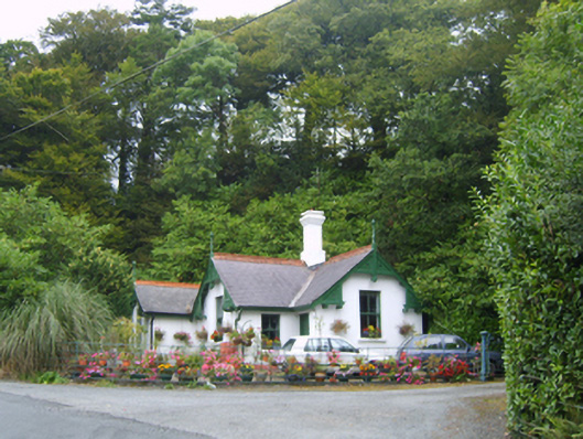 Healthfield Housegates/railings/walls · 164 yd
 St. Nicholass WellHoly well · 328 yd
 farm housefarm house · 511 yd
 Celebrating 125 YearsMemorial · 860 yd
 Site of CastleCastle, unclassified · 1371 yd
 (site of) Polehore CastleCastle, unclassified · 1701 yd
 Carrickshinna RockMountain / peak · 3.2 mi
 Ravens RocksMountain / peak · 3.3 mi
 Dawn RedwoodDawn Redwood · 3.6 mi
 16th Irish DivisionMemorial · 4.4 mi
 Three Sisters River CruisesHeritage attraction · 4.9 mi