What is recorded here
This irregularly shaped graveyard (N-S c. 45m; ENE-WSW c. 34m), to the SE of the associated church (GA123-021----), is delimited by a stone wall. Access is via a gateway at NE. Only one headstone, dated 1892, and an iron cross were noted on inspection in August 1982 but following a FÁS graveyard scheme in the early 1990s some formal graves were visible in the SE part of it and a number of unhewn set stones probably marked other graves (Gosling 1995, 6).
Compiled by: Olive Alcock
Date of upload: 24 January 2020
The monument record does not grant public access. Check the route and ask the landowner before entering private land.
- What survives
- Recorded monument
Places near here
 Beagh ChurchRuins · 40 yd
 Cross in CarraghCross · 758 yd
 IndicatedEnclosure · 1066 yd
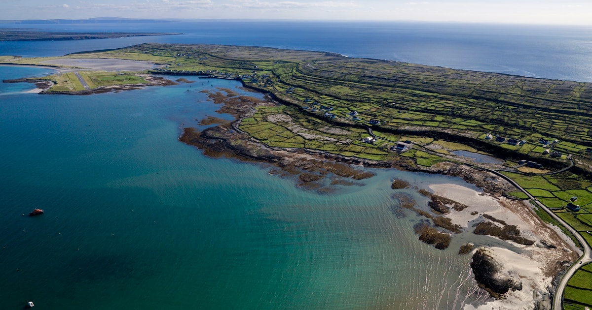 Beagh IslandWood · 1603 yd
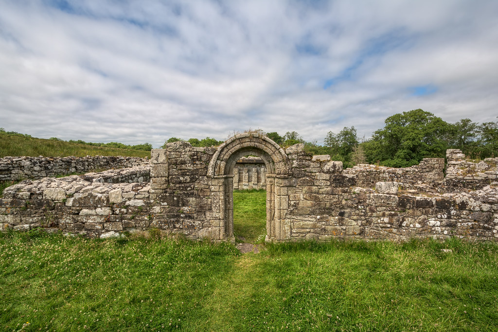 Church in ruinsChurch · 1646 yd
 Rick's IslandWood · 1.1 mi
 Castle (in ruins)Castle, tower house · 1.1 mi
 Castle IslandIsland · 1.1 mi
 Castle in ruinsCastle, tower house · 1.1 mi
 Holly IslandIslet · 1.4 mi
 Kilmacduagh Monastic SiteVisitor information · 3.9 mi
 Kilmacduagh MonasteryHeritage attraction · 3.9 mi