What is recorded here
On rock outcrop in undulating terrain. Very steep drop immediately W and N of church walls as a result of large scale quarrying. Graveyard is indicated on the 1st ed. OS 6-inch map by a dashed line around a roughly circular area immediately S of the church (TS076-036----). On the latest ed. the graveyard is more irregular in shape (dims. approx. 38m N-S; 26m E-W) and again is indicated by a dashed line. There is no evident boundary for the graveyard and its extent could not be established as the area is badly overgrown with long grass and brambles.
Compiled by: Jean Farrelly
Date of upload: 26 August 2011
The monument record does not grant public access. Check the route and ask the landowner before entering private land.
- What survives
- Recorded monument
Places near here
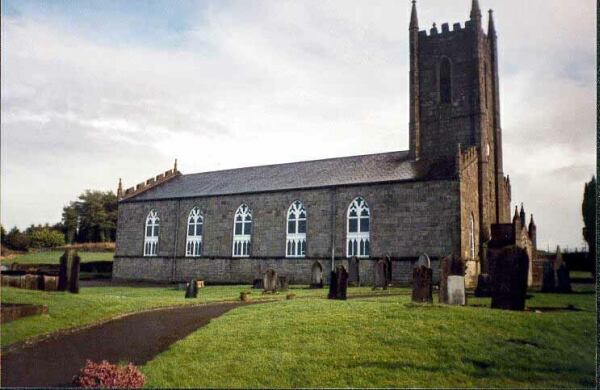 Ballylegan Church (in ruins)Church · 24 yd
 Bawn in CastlecoyneBawn · 1474 yd
 Enclosure in Knockagh (caher Par.)Enclosure · 1509 yd
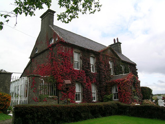 Keylong Househouse · 1533 yd
 Short Castle (in ruins)Castle, tower house · 1615 yd
 Enclosure in EdenmoreEnclosure · 1749 yd
 Caher AbbeyHeritage attraction · 2.2 mi
 Cahir CastleHeritage attraction · 2.3 miSiege of Cahir Castlesiege · 2.3 mi
 European YewEuropean Yew · 2.9 mi
 Cottagehill WoodForest · 3.0 mi
 Woodcock HillMountain / peak · 4.3 mi