What is recorded here
In an area of gently undulating pasture, located on the W bank of a stream, originally within the demesne land of Ballinvilla House.
Not shown on the 1838 OS 6-inch map; marked as ‘Grave Yard’ on the 25-inch plan and the 1916 OS 6-inch map.A narrow, elongated, roughly D-shaped area (71m N–S; 8m E–W) bordered at E by the curving course of a stream, and enclosed on the W and N by a field fence planted with beech and ash trees. The interior slopes down gently to E towards the stream and is terraced in parts. It is densely covered with low, uninscribed stone gravemarkers, many set in N–S rows. The greatest concentration of grave markers is in the N half where the ground is level. At the S end of the graveyard is a rectangular plot enclosed by wrought-iron railings, which is dedicated to the Crean family and encloses graves dating to late 19th and 20th centuries.
Compiled by: Jane O’Shaughnessy
Date of upload: 27 September 2022
The monument record does not grant public access. Check the route and ask the landowner before entering private land.
- What survives
- Recorded monument
Places near here
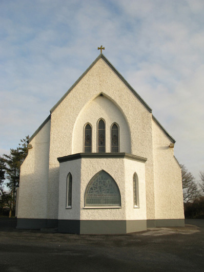 Catholic Church of Saint Theresa of the Little Flowerchurch/chapel · 419 yd
 IndicatedFairy fort / earthen ringfort · 759 yd
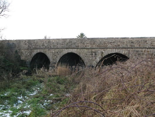 Brickeens Bridgebridge · 896 yd
 Enclosure in Crumlin (clanmorris By.)Enclosure · 1.7 mi
 CastleCastle, unclassified · 2.0 mi
 Castlekeel (in ruins)Castle, unclassified · 4.5 mi
 Oak WoodForest · 4.7 mi
 Land of the GiantsHeritage attraction · 5.3 mi
 Geoffrey's WoodForest · 5.6 mi
 Mass RockNamed rock · 13 mi
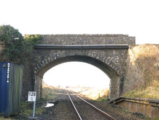 bridgebridge · 1.4 mi
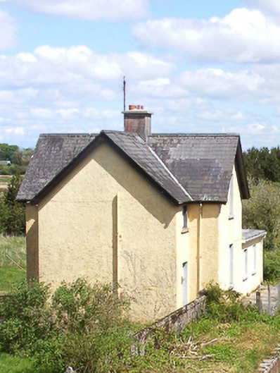 Bekan Railway Stationstation master's house · 1.4 mi