What is recorded here
Situated on a marked S-facing slope overlooking a valley. A quadrangular graveyard (L 45m WNW-ESE, Wth at E 40m; Wth at W 30m) with church (WI030-007----) towards E end. Defined by a mostly collapsed earth and stone bank (Wth 2m) with external drystone facing, the W wall is largely intact. There is a faint outer ditch (Wth 1.80m) on the N and E sides and an entrance gate at the SW. There are several mid-18th-century graveslabs in the church.
Compiled by: Claire Breen
Date of upload: 11 July 2013
The monument record does not grant public access. Check the route and ask the landowner before entering private land.
- What survives
- Recorded monument
Places near here
 Church (in Ruins), Grave YardChurch · 6 yd
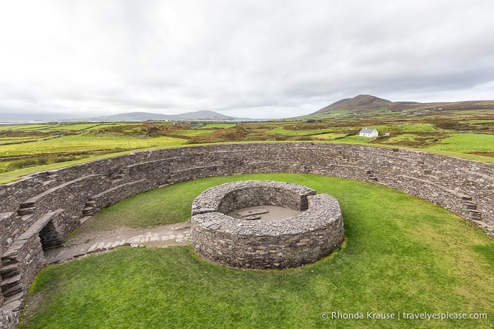 Fairy fort / ringfort in Kilcandra (arklow By., Dunganstown West Ed)Fairy fort / ringfort · 768 yd
 Sessile OakSessile Oak · 1341 yd
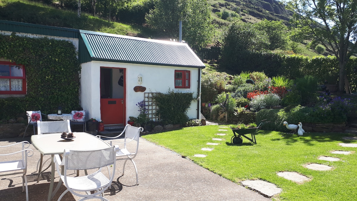 Enclosure in Glasnarget NorthEnclosure · 1521 yd
 Ballygannon More WoodForest · 1751 yd
 Castle in ruinsCastle, tower house · 1.1 mi
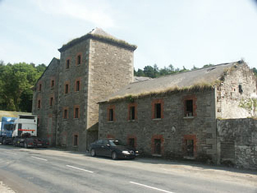 Rathdrum Millsmill (water) · 1.3 mi
 BallinastrawMountain / peak · 1.4 mi
 Parnell MonumentMemorial · 1.7 mi
 Wicklow 400Memorial · 1.7 mi
 Viewing TowerHeritage attraction · 2.4 mi
 Carrick MountainMountain / peak · 3.1 mi