
What is recorded here
Situated on a marked S-facing slope overlooking a valley. This is the parish church of Kilcommon, recorded in Irish sources as Cille Commáin and Gill Comain (Pers Com. Conchubhar Ó Crualaoich). A nave and chancel church (dims. 12.1m E-W x 6.3m N-S) of uncoursed mortared rubble. The walls are represented by collapsed rubble (T 0.9-1.1m; H 0.4-0.6m) apart from the E gable (H 5.4m) which is still standing. No trace of a doorway. The E gable has an incomplete central window with chamfered granite jambs and a wall niche at the SE angle. The church is towards the E end of a quadrangular graveyard (dims. 45m WNW-ESE; 40m at the E - 30m at the W) defined by a collapsed earth and stone bank (Wth 2m), and a slight outer fosse at the N and E (Wth 1.8m). There are several mid-eighteenth-century graveslabs in the church.
The above description is derived from the published 'Archaeological Inventory of County Wicklow' (Dublin: Stationery Office, 1997). In certain instances the entries have been revised and updated in the light of recent research.
Date of upload/revision: 17 December 2008
The monument record does not grant public access. Check the route and ask the landowner before entering private land.
- What survives
- Recorded monument
Places near here
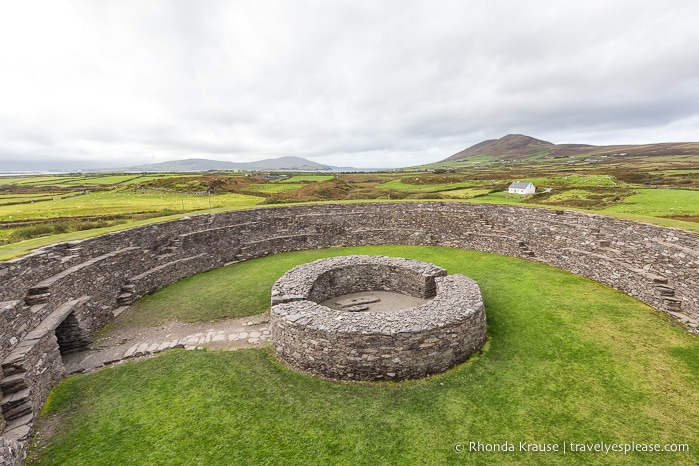 Fairy fort / ringfort in Kilcandra (arklow By., Dunganstown West Ed)Fairy fort / ringfort · 772 yd
 Sessile OakSessile Oak · 1335 yd
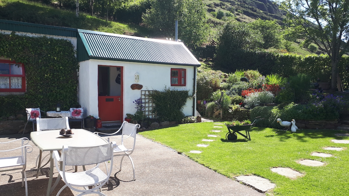 Enclosure in Glasnarget NorthEnclosure · 1526 yd
 Ballygannon More WoodForest · 1746 yd
 Castle in ruinsCastle, tower house · 1.1 mi
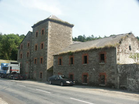 Rathdrum Millsmill (water) · 1.3 mi
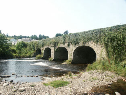 Rathdrum Bridgebridge · 1.3 mi
 BallinastrawMountain / peak · 1.4 mi
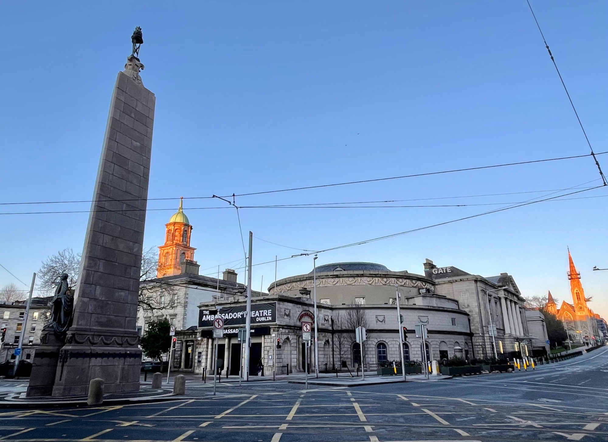 Parnell MonumentMemorial · 1.7 mi
 Wicklow 400Memorial · 1.7 mi
 Viewing TowerHeritage attraction · 2.4 mi
 Carrick MountainMountain / peak · 3.1 mi
Other information
Photo: Credit not shown in the picture search · Rights wording not checked; contact us if this picture should be removed