
What is recorded here
Bouchier's burial ground depicted as a small oval-shaped area (approx. diam. 30m) defined with a dotted outline on the 1840 ed. OS 6-inch map. Depicted as a sub-rectangular shaped area on the 1897 ed. OS 25-inch map. The faint outline of the graveyard and some stones protruding from the ground are visible today on Digital Globe aerial photograph. Described by O'Kelly (1944, 18) as site of a church which he described as following; 'No trace now visible, but the site is marked by a disused graveyard. The latter is not enclosed and appears as a mound from which protrude several rough stones. One legible stone was erected to the memory of John Bourchier, who died 1774. Nothing is known of the church'. In 1840 the Ordnance Survey Letters recorded that 'there is a burial ground in the west end, called Bouchier's Burial Ground' (OSNB, Knockainy Parish, 1206). There is no evidence to suggest that there was ever a church located inside this graveyard.
Compiled by: Caimin O'Brien
Date of upload: 30 July 2019
The monument record does not grant public access. Check the route and ask the landowner before entering private land.
- What survives
- Recorded monument
Places near here
 BarrowBarrow, unclassified · 399 yd
 Earthwork in Baggotstown WestEarthwork · 515 yd
 Baggotstown Castle (in Ruins)House, fortified house · 666 yd
 Corn MillWater mill, unclassified · 1049 yd
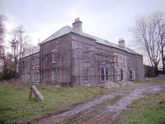 Baggotstown Housecountry house · 1489 yd
 Gormanstown Castle (in ruins)Castle, unclassified · 1.0 mi
 KnockainyMountain / peak · 1.7 mi
 Flat cemetery in Knockainy WestFlat cemetery · 2.0 mi
 St Patrick's WellSpring · 4.3 mi
 Edmund's WellSpring · 4.8 mi
 Ballinvreena LoopVisitor information · 5.2 mi
 Kilteely HillMountain / peak · 5.8 mi
Other information
Photo: Credit not shown in the picture search · Rights wording not checked; contact us if this picture should be removed