What is recorded here
Situated on a gentle W-facing slope overlooking the River Shannon. The site of an early monastery called Enach Dubh and the medieval parish church of Annaduff (LE032-054001-) is within a a rectangular graveyard (dims c. 60m WNW-ESE; c. 40m NNE-SSW) defined by masonry walls, which is itself within an ecclesiastical enclosure (LE032-054005-). The present Church of Ireland church of St. Anne was built c. 1815 (Lewis 1837, 28) on a new site just to the NE of the graveyard.
Compiled by: Michael Moore
Date of revised upload: 8 June 2018
A Christian burial ground associated with a medieval parish church; significance relates to its historical connection with the early monastery of Enach Dubh.
The monument record does not grant public access. Check the route and ask the landowner before entering private land.
- What survives
- Recorded monument
Places near here
 Church (in Ruins)Church · 18 yd
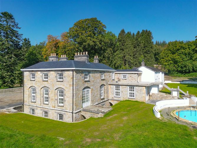 Ecclesiastical enclosure in AnnaduffEcclesiastical enclosure · 24 yd
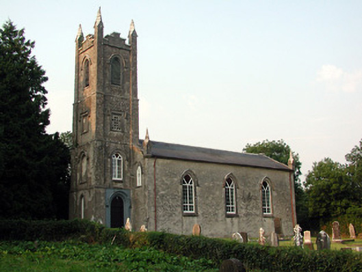 Saint Anne's Church (Annaduff)church/chapel · 49 yd
 Tom Dunphy MemorialMemorial · 55 yd
 Enclosure in CloonteemEnclosure · 805 yd
 Wildlife AreaNature reserve · 1270 yd
 Declaration of IndependenceMemorial · 1576 yd
 Site of Dangan CastleCastle, unclassified · 2.5 mi
 InishmoylinIslet · 3.5 mi
 Coarse IslandForest · 3.7 mi
 Dockery's IslandIslet · 3.8 mi
 CastlecarraCastle, unclassified · 3.9 mi