What is recorded here
Situated on a ridge in rolling pasture overlooking the valley of the Mulkear River 75m to the S. The graveyard is still in use and was extended to the E in the 1980s, the modern graveyard extension measures approx. 100m E-W by 35m N-S. Depicted as a rectangular-shaped graveyard (approx. dims. 60m N-S x 80m E-W) on the 1840 ed. OS 6-inch map. The graveyard was enclosed by a post-1700 stone wall which has been removed at E due to the modern graveyard extension. The original graveyard was entered from the E via a pathway leading to the main road as shown on the 1840 ed. OS 6-inch map and now visible as a hollow way flanked by two tall yew trees. On the 1840 ed. OS 6-inch map this pathway lead down to a church (LI014-014005-) which no longer survives. The graveyard contains post-1700 memorials and a levelled church in the SW quadrant. The graveyard appears to stand on part of the footprint of Abbey Owney (LI014-014002-). In 1907 Seymour (1907, 180) suggested that ‘The true site of the abbey must be sought a little higher up from the river, where the ground is flat, and it may have stood, in whole or in part, on the site now occupied by the present graveyard’. The ruins of a Convent associated with the abbey was marked in an area immediately S of the SW corner of the graveyard on the 1840 ed. OS 6-inch map. The graveyard contains architectural fragments of the 13th century abbey that have been inserted in the surface of the graveyard possibly reused as grave markers. The fabric of the graveyard wall also contains architectural fragments belonging to the Cistercian abbey. The graveyard contains several mausolea dating from the 19th century.
Compiled by: Caimin O'Brien and Matt Kelleher
Date of upload: 29 June 2017
This remains an important historical record, but the official description says the monument is no longer visible or has been destroyed. The monument record does not grant public access. Check the route and ask the landowner before entering private land.
- What survives
- No visible remains or recorded as destroyed
Places near here
 Church in AbingtonChurch · 30 yd
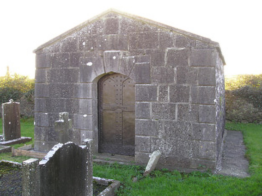 mausoleummausoleum · 38 yd
 Graveyard in AbingtonGraveyard · 103 yd
 CastleCastle, unclassified · 148 yd
 IndicatedWeir, fish · 166 yd
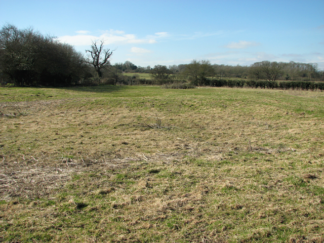 Settlement desertedSettlement deserted, medieval · 244 yd
 Bawn in RathBawn · 1.0 mi
 Sliev Felim WayVisitor information · 1.5 mi
 Slieve Felim WayWalking route · 4.5 mi
 Slieve FelimMountain / peak · 5.5 mi
 KnockseefinMountain / peak · 5.6 mi
 ToberagaddySpring · 6.2 mi