What is recorded here
Sited immediately S of the highest point of a prominent drumlin hill. Small, circular, flat-topped mound of earth and stone (int. diam. 7.5m NNW-SSE) with the remains of a kerb of low stones about the perimeter of the summit. The mound is enclosed by a narrow, well-defined bank of earth and stone with narrow, deep, internal fosse. The bank has been removed from SW-W probably in relatively modern times. Of the kerbstones, fifteen remain in position; four at SSE and the remaining ten from SW-NNW.
The above description is derived from the published 'Archaeological Inventory of County Cavan' (Dublin: Stationery Office, 1995). In certain instances the entries have been revised and updated in the light of recent research.
Date of upload/revision: 22 December 2008
A Neolithic burial mound, likely dating to the Early to Middle Bronze Age, situated on a prominent drumlin, indicating a strategic and symbolic location for ritual or commemorative purposes.
This remains an important historical record, but the official description says the monument is no longer visible or has been destroyed. The monument record does not grant public access. Check the route and ask the landowner before entering private land.
- What survives
- No visible remains or recorded as destroyed
Places near here
 Killycluggin StoneVisitor information · 443 yd
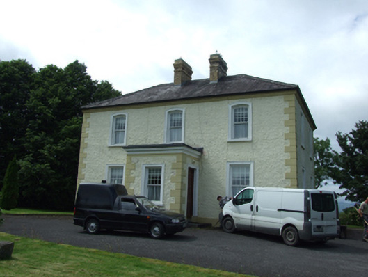 The Presbyterypresbytery/parochial/curate's house · 527 yd
 Tober PatrickHoly well · 578 yd
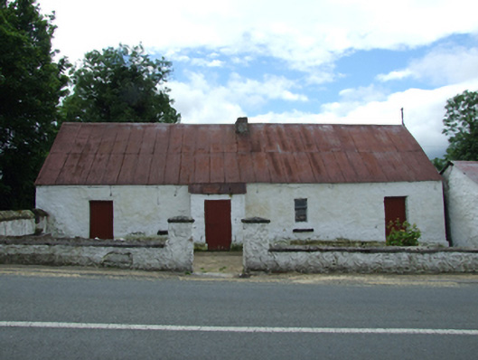 farm housefarm house · 594 yd
 LissanoverCastle, unclassified · 1038 yd
 IndicatedHilltop enclosure · 1507 yd
 Killarah ForestForest · 1.3 mi
 Saint Mogue's IslandIslet · 1.4 mi
 Bellaheady MountainMountain / peak · 1.4 mi
 Giants GraveArchaeological place · 1.4 mi
 Common LimeCommon Lime · 1.5 mi
 Bilberry HillMountain / peak · 2.5 mi