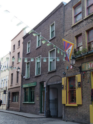
What is recorded here
Attached three-bay three-storey former house, built c.1820, having integral carriage arch to east end. Now in use as office and studio. Flat roof hidden behind brick parapet with carved granite coping having lead flashing. Brown brick laid in Flemish bond. Square-headed window openings having raised rendered reveals, granite sills and two-over-two pane timber sliding sash windows or timber casement windows to upper floors. Square-headed window opening with render sill, timber casement windows having timber mullions and recent timber fascia. Square-headed door opening with timber panelled door and overlight, having granite step. Elliptical-headed carriage arch to laneway having brick tympanum over rendered fascia with raised lettering, mild steel double-leaf gate and cast-iron wheel guard to east. Situated to south side and east of Cope Street.
Cope Street was largely developed by the mid-eighteenth century and this site appears on John Rocque’s 1756 map of Dublin. It retains its characteristic brown brick façade and brick carriage arch complete with wheel guard. It is recorded as a house, stores and yard in Griffith’s Primary Valuation and the carriage arch gave access to a stable at the rear. It is recorded as a dwelling and offices in the 1901 and 1911 census. A modest but well-executed timber door surround and decorative overlight, the work of a skilled artisan, provide access to the office accommodation. Carved granite coping to the parapet subtly enlivens and articulates the façade.
This does not grant access. Most recorded buildings are privately owned; view them only from public ground unless the owner allows entry.
Places near here
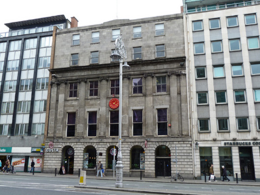 clubhouseclubhouse · 89 yd
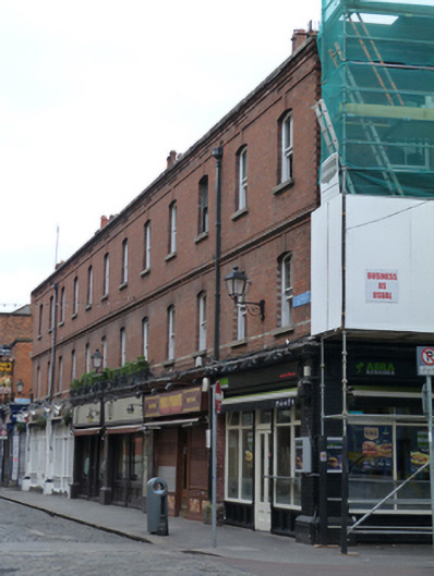 Elephant & Castle / Boxty / Pablo Picante / Abrakebabrashop/retail outlet, apartment/flat (purpose-built) · 97 yd
 Illusion Museum DublinMuseum · 106 yd
 Fireman John KiteMemorial · 169 yd
 Holy well in Unknown TownlandHoly well · 186 yd
 The Sick and Indigent Roomkeepers' SocietyMemorial · 320 yd
 Tourist Information CentreVisitor information · 323 yd
 Garda MuseumMuseum · 327 yd
 Battle of DublinMajor battlefield · 384 yd
 St. Patricks WellHoly well · 413 yd
 Bigleaf MapleBigleaf Maple · 417 yd
 Newcomen BankVisitor information · 419 yd
Other information
Photo: National Inventory of Architectural Heritage · Website use allowed for educational or private purposes with source credit