What is recorded here
On S side of Kildorrery village, entered from street through gateway mid-way along E side. Subrectangular graveyard (c. 80m NNE-SSW; c. 60m ENE-WSW), sloping down to S, enclosed by stone wall to W and S, houses to E and N. West wall broken through in 1995 to access recent extension. Ruin of parish church of Kildorrery (14429) in centre. Headstones mainly 19th-century in date; earliest noted dated 1790; many low uninscribed gravemarkers to S of church. Grove White (1905-25, vol. 3, 283) noted headstones in chancel of church dating from 1741-1790; churchyard 'put into good order' c. 1910 (ibid.). Windele noted in 1849 (ibid., 282) that 'pillar caps and sculptures' had been placed 'at every grave head' (see 14429). Structure marked 'School Ho.' on 1842 OS 6-inch map in S angle of graveyard does not survive; this may be same structure as 'new church' mentioned by Windele in 1849 (ibid.).
The above description is derived from the published 'Archaeological Inventory of County Cork. Volume 4: North Cork' (Dublin: Stationery Office, 2000). In certain instances the entries have been revised and updated in the light of recent research.
Date of upload/revision: 14 January 2009
The monument record does not grant public access. Check the route and ask the landowner before entering private land.
- What survives
- Recorded monument
Places near here
 Church (in Ruins)Church · 9 yd
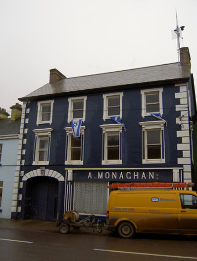 A. MonaghanA. Monaghanhouse · 63 yd
 Castletown Castle (Site of)Castle, unclassified · 1171 yd
 Mass-rock in FarahyMass-rock · 1509 yd
 Ballyenehan Castle (Site of)Castle, unclassified · 1586 yd
 Ecclesiastical enclosure in KilmacullaEcclesiastical enclosure · 1690 yd
 Flat cemetery in Ballyenahan NorthFlat cemetery · 1.0 mi
 North Meadow WoodForest · 1.6 mi
 Horse Field WoodForest · 1.7 mi
 CarrigeenamronetyMountain / peak · 3.5 mi
 Anne's Grove GardensHeritage attraction · 3.8 mi
 Coolfree MountainMountain / peak · 4.1 mi