
What is recorded here
Gortnakilly Grave Yd (Disused) is a burial ground in County Cork, Ireland. It occupies a subrectangular patch of rough grazing on a north-facing slope, bounded by marsh on three sides and a field fence to the north. Most grave markers cluster in the eastern half, suggesting families buried beside one another rather than scattered at random. The site appears on the 1842 OS six-inch map, proving people still tended it when surveyors walked the land.
In rough grazing on N-facing slope. Marked 'Gortnakilly Grave Yd.' on OS 6-inch map (1842). Subrectangular area (15m E-W; 12.2m N-S) defined to E, S and W by marsh, to N by field fence. Most grave markers in E half of interior.
The above description is derived from the published 'Archaeological Inventory of County Cork. Volume 1: West Cork' (Dublin: Stationery Office, 1992). In certain instances the entries have been revised and updated in the light of recent research.
Date of upload/revision: 14 January 2009
The monument record does not grant public access. Check the route and ask the landowner before entering private land.
- What survives
- Recorded monument
Places near here
 farm housefarm house · 484 yd
 Gouladoo WellHoly well · 1304 yd
 connection to Seefin LoopWalking route · 1418 yd
 SeefinMountain / peak · 1424 yd
 connection Peakeen Loop to Seefin LoopWalking route · 1691 yd
 Finn McCool's SeatViewpoint · 1.2 mi
 Rosskerrig MountainMountain / peak · 1.2 mi
 Mass RockMemorial · 1.4 mi
 Stone RowHeritage attraction · 1.6 mi
 Dromnea WellHoly well · 1.8 mi
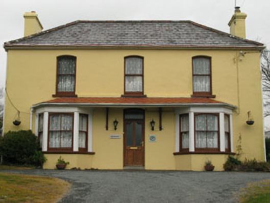 Bridge View Househouse · 2.0 mi
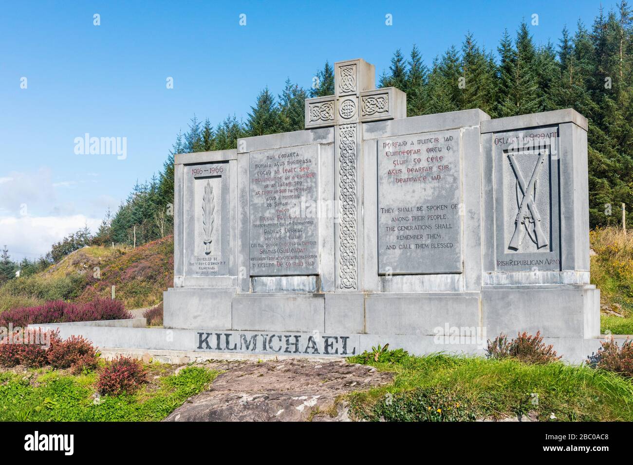 Tom Whitty memorialMemorial · 2.3 mi
Other information
Photo: Credit not shown in the picture search · Rights wording not checked; contact us if this picture should be removed