What is recorded here
Larganakilla is a lost burial ground on high pasture east of the Glenna river in County Donegal. It vanished from human memory before surveyors drew it, leaving only a map name and a field where grass still grows over forgotten dead. The absence is the shape of the place: a graveyard so old it became landscape, and the landscape swallowed even its own history.
It was not possible to identify any specific area as the 'Larganakilla Graveyard' marked on the 2nd and 3rd editions of the OS 6-inch maps. The location is pasture land on high ground E of the Glenna river.
The above description was derived from the 'Archaeological Survey of County Donegal. A description of the field antiquities of the County from the Mesolithic Period to the 17th century.' Compiled by: Brian Lacey with Eamon Cody, Claire Cotter, Judy Cuppage, Noel Dunne, Vincent Hurley, Celie O'Rahilly, Paul Walsh and Seán Ó Nualláin (Lifford: Donegal County Council, 1983). In certain instances the entries have been revised and updated.
Date of upload: 22 September 2008
The monument record does not grant public access. Check the route and ask the landowner before entering private land.
- What survives
- Recorded monument
Places near here
 Teach Pobail Chríost Rí [Catholic Church of Christ the King]church/chapel · 258 yd
 Gortahork Inland Promontory FortPromontory fort, inland · 311 yd
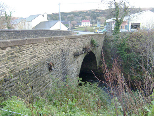 Droicheadh Bhedlam [Bedlam Bridge]bridge · 473 yd
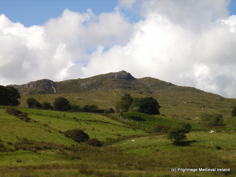 St. Columbkilles WellHoly well · 785 yd
 Castle Bawne (in Ruins)Bawn · 1.3 mi
 MagheraroartyOfficial bathing water · 2.3 mi
 Monterey CypressMonterey Cypress · 2.4 mi
 Wych ElmWych Elm · 2.4 mi
 Trá Dhroim na TineBeach / strand · 3.1 mi
 Inis Bó FinneIsland · 4.2 mi
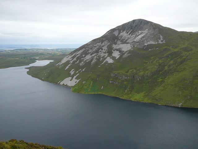 Aghla MoreMountain / peak · 4.5 mi
 Cnoc FolaMountain / peak · 5.1 mi