What is recorded here
Situated on a rise in an undulating landscape. The early church (ME011-037----) is at the summit of the mound of a D-shaped graveyard (dims c. 60m E-W; c. 35m N-S) defined by an earth and stone bank (Wth 2.6-4.5m; int. H 0.2; ext. H 0.7m) SW-NW or a scarp (H 0.7-1m), but this obscures a wall which is visible at S (L c. 20m; H 0.3m). The graveyard was extended all round and defined anew with a masonry wall (max. dims c. 70m E-W; c. 40-65m N-S), although it may have truncated the old graveyard slightly on the N side. The headstones in the newly enclosed area date from c. 1900. Since then the graveyard has been extended to the N (dims c. 50-65m NNE-SSW; c. 60m WNW-ESE) where it is defined by cement walls. The base of a high cross (ME011-037005-) is in the graveyard N of the church. Man-made underground passage (ME011-035----) is outside the graveyard to the W. Parts of the graveyard wall, at SE and SW, collapsed as a result of hurricane Ophelia in 2017.
Compiled by: Michael Moore
Date of upload; 22 May, 2014
Amended: 14 June, 2018
The monument record does not grant public access. Check the route and ask the landowner before entering private land.
- What survives
- Recorded monument
Places near here
 ChapelChurch · 15 yd
 Addie's WoodWood · 353 yd
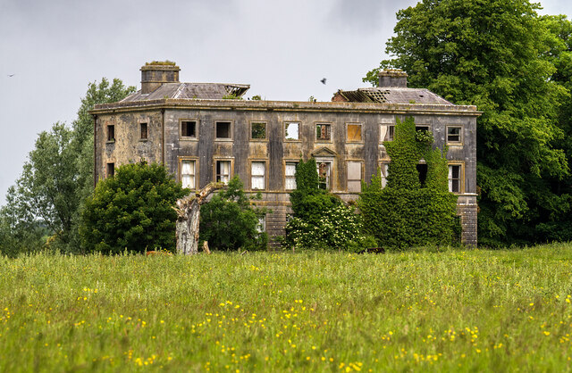 Williamstowncountry house · 364 yd
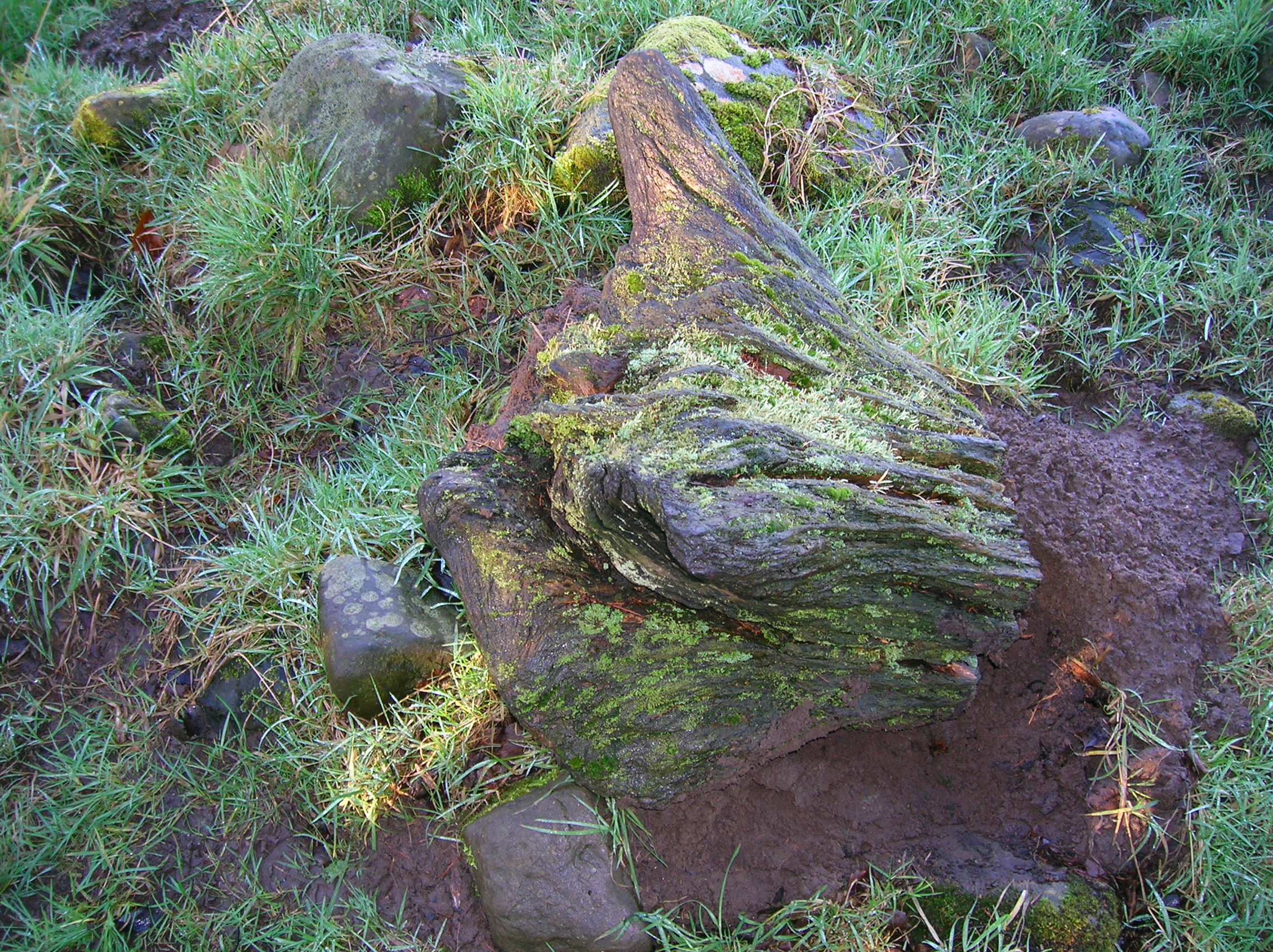 Zephyr Bog WoodWood · 811 yd
 Standing StoneArchaeological place · 1723 yd
 MountainpoleMountain / peak · 1752 yd
 Kells Anglers Association MemorialMemorial · 1.3 mi
 Fulacht fia in Archdeaconry GlebeFulacht fia · 1.4 mi
 John Mac MahonMemorial · 1.5 mi
 DeerparkMountain / peak · 1.8 mi
 CastleCastle, unclassified · 1.8 mi
 Black WoodWood · 865 yd