
What is recorded here
Glasgow, Easterhouse Station is a railway station in Glasgow City, Scotland.
Places near here
Photo credits
- Stephen Sweeney, Wikimedia Commons · CC BY-SA 2.0
- Maker not stated on source page, news.sky.com
- Maker not stated on source page, www.flickr.com
- David Dixon, Wikimedia Commons · CC BY-SA 2.0
- Richard Sutcliffe, Wikimedia Commons · CC BY-SA 2.0
- Maker not stated on source page, www.dreamstime.com
- Maker not stated on source page, www.glasgowlive.co.uk
- Chris Upson, Wikimedia Commons · CC BY-SA 2.0
- Robert Murray, Wikimedia Commons · CC BY-SA 2.0
- Richard Webb, Wikimedia Commons · CC BY-SA 2.0
- Elliott Simpson, Wikimedia Commons · CC BY-SA 2.0
 Easterhouse StationHeritage place · 65 yd
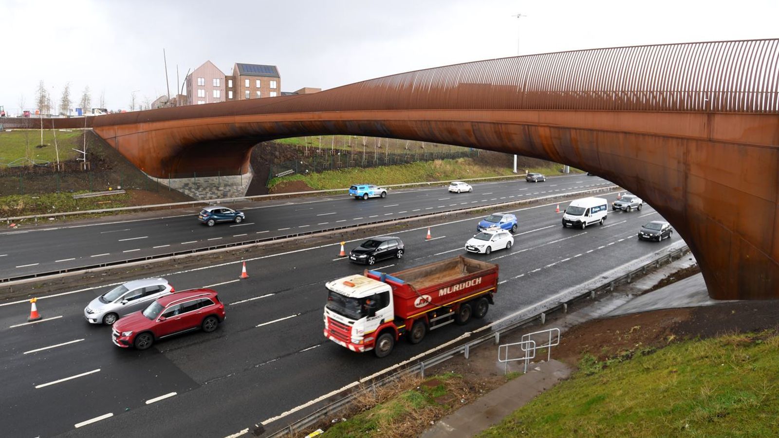 M8, Monklands Motorway, Junction 9, Easterhouse Road Motorway BridgeMotorway Interchange (modern) · 235 yd
 Monkland Canal, Easterhouse BridgeBridge (18th Century) · 291 yd
 M8, Monklands Motorway, Section Between Wardie Road Bridge and Junction 9Motorway (modern) · 662 yd
 Glasgow, Easterhouse, Boyndie Street, St George's and St Peter's Parish ChurchChurch (mid 20th Century) · 874 yd
 Blairtummock ParkPark · 887 yd
 Monkland Canal, Netherhouse Bridge, GlasgowBridge (18th Century) · 937 yd
 Glasgow, Bargeddie, Manse Road, Bargeddie Parish Church, ManseManse (19th Century) (1876) · 1027 yd
 Glasgow, Bargeddie, Manse Road, Bargeddie Parish Church, LodgeGate Lodge (19th Century) (1876) · 1045 yd
 Glasgow, Bargeddie, Manse Road, Bargeddie Parish ChurchChurch (19th Century) (1876) · 1057 yd
 Garrowhill ParkPark · 1407 yd
 A supermarket and space for further development at Glasgow FortCastle, fort or tower · 1.0 mi
More historic places in Glasgow City · All of Glasgow City

What do you know about this place?Tap to add a comment or ask a question