What is recorded here
Situated at the top of a steep N-facing slope. It is described (Faughnan 1943, file 131) as a large coffin-shaped stone "16 feet 8 inches by 8 feet, 8 inches and 42 inches thick (c. 5m x c. 2.65m; T c. 1.05m)" having an inscription 'HR' and the date 1725 on one side. This stone has been moved and no inscription can now be seen on it.
The above description is derived from 'The Archaeological Inventory of County Leitrim' compiled by Michael J. Moore (Dublin: Stationery Office, 2003). In certain instances the entries have been revised and updated in the light of recent research.
Date of upload: 23 September 2008
Likely dating to the Neolithic or early Bronze Age, Giants Stone, Gortnalibbert may have functioned as a megalithic monument associated with ritual or burial practices. Its coffin-like shape could reflect a symbolic or funerary purpose, possibly linked to local folklore of giants or ancestral figures.
The monument record does not grant public access. Check the route and ask the landowner before entering private land.
- What survives
- Recorded monument
Places near here
 IndicatedSweathouse · 1201 yd
 Ballaghnabehy TopMountain / peak · 1269 yd
 Enclosure in MunnagashelEnclosure · 1720 yd
 Grave YardChurch · 1.7 mi
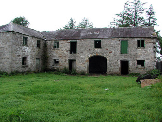 Hollymountoutbuilding · 2.0 mi
 The Giants GraveArchaeological place · 2.6 mi
 BronaghMountain / peak · 2.9 mi
 Giants RockNamed rock · 4.1 mi
 TobermurrySpring · 5.5 mi
 Lough MacNean WalkWalking route · 5.5 mi
 Kilroosk RockNamed rock · 5.6 mi
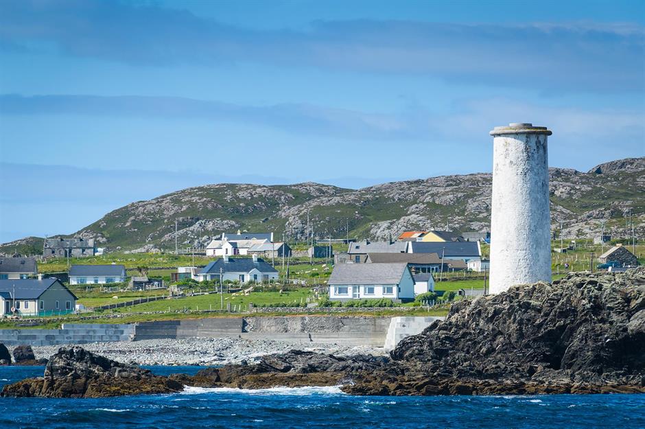 Bilberry IslandIslet · 5.7 mi