What is recorded here
Giants Grave is a ruined megalithic gallery on a broad Donegal ridge, not a dramatic chamber but two weathered stones marking the south edge of a lost structure. It faces the River Erne and remote basin, inviting imagination about the people who built it, buried there and watched the land pass beneath the sky.
This monument stands toward the SE end of a broad ridge in rolling pasture. It is 1km S of the River Erne and commands an extensive outlook across the river basin. There is a more restricted outlook to the S and E.
The surviving structure consists of two orthostats lying E-W. These seem to represent the side of a gallery at least 6.2m long. The orthostats stand in a substantially levelled, low, subrectangular mound that survives to the E of a field fence crossing the W end of the structure. It measures 12m E-W and narrows from 17m wide at the W to 13m at the E. A drop in ground level of 0.3m defines the edge of the mound. Apart from a small piece of outcropping rock to the E of the eastern orthostat, the mound is entirely grass grown.
The eastern orthostat is 1.3m high. The western, slightly N of the line of the eastern one, is 0.95m high. A loose slab, 0.3m N of this, lies at the edge of the field fence crossing the site and measures 1.45m by 0.95m by 0.25m thick.
Three stones, one to the N and two to the S of the western orthostat, shown in Holly's (1975-6) plan of the monument are quite loose and do not form part of the structure. According to mid-19th-century OS documents, the surviving orthostats represent the S side of the monument, the opposite side of which had been removed before then (Fagan 1845-8; OS Revision Name Book, 1847-50). These stones clearly formed part of a substantial E-W-aligned megalithic gallery, but it is not possible to classify it.
G.H.R. 1834-5, 'The Giant's Grave' (sketch); Fagan 1845-8, book 17, 36; OS Revision Name Book, sheet 107 (1847-50), 28; Allingham 1879, 108-9 (Rockfield); H. Morris 1947, 41, no. B11 probably refers; Holly 1975-6, 197-8 (plan); Ó Nualláin 1983a, 45, no. 132; SMR 1987, 107:89; Ó Nualláin 1989, 142; RMP 1995, 107:89.
The above description was published in the 'Survey of the Megalithic Tombs of Ireland. Volume VI, County Donegal.' Compiled by: Eamon Cody (Dublin: Stationery Office, 2002).
Date of upload: 22 September 2008
See linked document with details from Eamon Cody, Survey of the Megalithic Tombs of Ireland. Volume VI. County Donegal. (Dublin: Stationery Office, 2002)
Portal dolmen; dates to the Neolithic period (c. 4000–2500 BCE). Its location suggests it may have had ritual or ceremonial significance, possibly linked to riverine and landscape features in the Erne basin.
The monument record does not grant public access. Check the route and ask the landowner before entering private land.
- What survives
- Recorded monument
Places near here
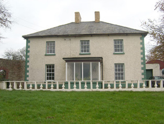 Rockfield Househouse · 280 yd
 Rowantreehill Househouse · 717 yd
 Cloghore Ridge EnclosureEnclosure · 918 yd
 Tetunny Church (Site of)Church · 1270 yd
 Belleek Pottery MuseumMuseum · 1733 yd
 Belleek PotteryHeritage attraction · 1.0 mi
 Castle in ruinsCastle, unclassified · 1.7 mi
 PLANTATION CASTLE: MAGHERAMEENAGH CASTLE in MagherameenaghPLANTATION CASTLE: MAGHERAMEENAGH CASTLE · 3.3 mi
 St Anne's Church GraveyardGraveyard · 3.4 mi
 InishkeenIslet · 3.5 mi
 GorminishIslet · 3.8 mi
 HawthornHawthorn · 4.0 mi