
What is recorded here
In pasture, located on the narrow top of an E−W ridge providing good views over the surrounding undulating grassland, which tends to be damp and poorly drained. The ridge has steep N and S slopes, and more gradual slopes to E and W. At E the slope drops to a strip of lowlying ground bordering the banks of the River Erne. There is a burial ground (DG107-073001-) 470m to NNE on the banks of the river.
This enclosure has been levelled, but the outline of a slightly raised circular area (c. 20m E−W; c. 17m N−S) defined on its perimeter by a slight scarp/undulation (H 0.4) can still be discerned. The enclosure spans almost the full N−S width of the ridge top.
Notified to NMS by Jean-Charles Caillère
Attached image:
DG107-129----_01.JPG Enclosure viewed from E
Compiled by: Jane O’Shaughnessy
Date of upload: 4 November 2021
A local fairy fort (ringfort/rath); wider significance not recorded.
The monument record does not grant public access. Check the route and ask the landowner before entering private land.
- What survives
- Recorded monument
Places near here
 Tetunny WellHoly well · 577 yd
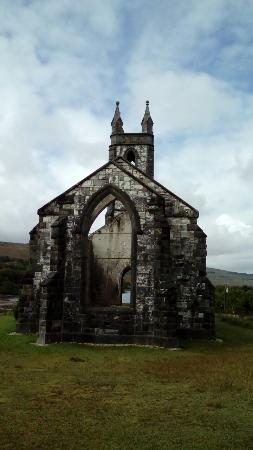 Old ChurchRuins · 629 yd
 Tetunny Church (Site of)Church · 652 yd
 Cliff Generating Stationhydroelectric power station · 706 yd
 Belleek Pottery MuseumMuseum · 846 yd
 Belleek PotteryHeritage attraction · 919 yd
 Castle in ruinsCastle, unclassified · 2.1 mi
 PLANTATION CASTLE: MAGHERAMEENAGH CASTLE in MagherameenaghPLANTATION CASTLE: MAGHERAMEENAGH CASTLE · 2.8 mi
 InishkeenIslet · 3.8 mi
 GorminishIslet · 3.8 mi
 St Anne's Church GraveyardGraveyard · 3.9 mi
 HawthornHawthorn · 4.1 mi
Other information
Photo: Credit not shown in the picture search · Rights wording not checked; contact us if this picture should be removed