What is recorded here
This feature was first shown on the 1848 edition of the OS 6-inch map, where it is named 'Giant's Grave'. There is no trace of it now. The only information about it is a brief description in an OS 1:2,500 Name Book (1902), which states that the name on the map 'applies to an indenture in the ground, the sides are composed of large rocks, and covered by a large flat rock'. This feature, the nature of which is unclear, had been removed by 1941 (Colhoun 1995).
OS 1:2,500 Name Book, sheet 39 (1902), 21; Killanin and Duignan 1962, 380; Killanin and Duignan 1967, 381;
Ó Nualláin 1983a, 48, no. 164; SMR 1987, 39:3; Colhoun 1995, 92, no. 39/5; RMP 1995, 39:3.
The above description was published in the 'Survey of the Megalithic Tombs of Ireland. Volume VI, County Donegal.' Compiled by: Eamon Cody (Dublin: Stationery Office, 2002).
Date of upload: 22 September 2008
This remains an important historical record, but the official description says the monument is no longer visible or has been destroyed. The monument record does not grant public access. Check the route and ask the landowner before entering private land.
- What survives
- No visible remains or recorded as destroyed
Places near here
 Eskaheen Portal TombPortal tomb · 389 yd
 Former Eskaheen Fairy FortFairy fort / ringfort · 827 yd
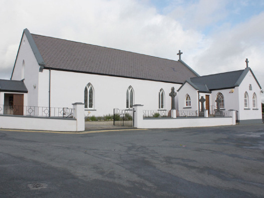 St. Patrick's Catholic Churchchurch/chapel · 856 yd
 Eskaheen GraveyardGraveyard · 909 yd
 Eskaheen Old ChurchChurch · 909 yd
 Muff ForestWoodland walk · 1603 yd
 Scalp MountainMountain / peak · 2.9 mi
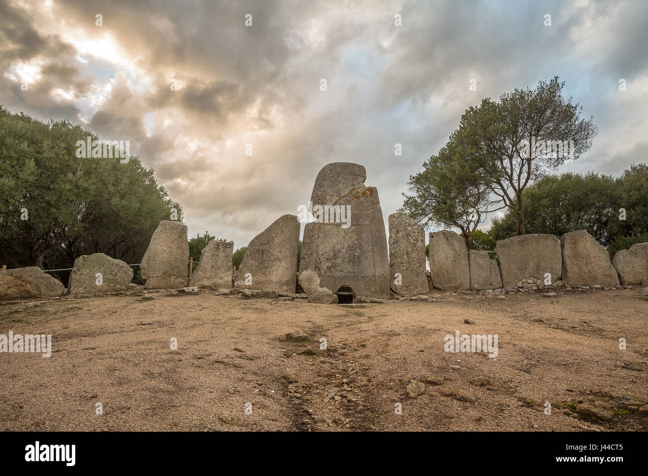 Giant's GraveArchaeological place · 3.4 mi
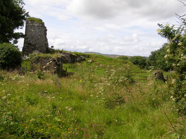 CASTLE & EARTHWORK ENCLOSURE: DOHERTY TOWER or CASTLE AILEACH in Elagh MoreCASTLE & EARTHWORK ENCLOSURE: DOHERTY TOWER or CASTLE AILEACH · 4.2 mi
 Quigley's PointHeadland · 4.7 mi
 Siege of Derry Boom Stone"The Boom Stone" (Traditionally part of 17th century boom across the River Foyle during the Siege of Derry) · 4.9 mi
 Cashel HillMountain / peak · 5.1 mi