What is recorded here
This consists of an upright stone, 1.3m long, 0.65m thick and 1.3m high, and two prostrate stones close by. (de Valera and Ó Nualláin 1972, 138, No. 9)
The above description is derived from the published 'Archaeological Inventory of County Cavan' (Dublin: Stationery Office, 1995). In certain instances the entries have been revised and updated in the light of recent research.
Date of upload/revision: 22 December 2008
The monument record does not grant public access. Check the route and ask the landowner before entering private land.
- What survives
- Recorded monument
Places near here
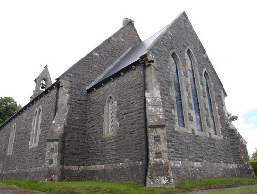 St Mark's Church of Ireland Churchchurch/chapel · 398 yd
 Not inidicatedChurch · 438 yd
 Cornanurney ForestForest · 1.0 mi
 CornanurneyMountain / peak · 1.1 mi
 Cabragh RingfortArchaeological place · 1.1 mi
 Giants GraveArchaeological place · 1.1 mi
 Cordoagh Glebe Upper ForestForest · 1.2 mi
 IndicatedFairy fort / earthen ringfort · 1.6 mi
 Site of Old CastleCastle, unclassified · 1.7 mi
 CastleCastle, unclassified · 1.8 mi
 CorickMountain / peak · 2.2 mi
 St Brigid's Roman Catholic Churchchurch/chapel · 668 yd