What is recorded here
Giants Grave is a court tomb in Carricknagat (tirerrill By.), County Sligo, Ireland. It stands on a poorly drained low-lying patch of ground about 50m ENE of an unclassified megalithic tomb. This National Monument in State ownership has a SSE-facing gallery divided into a well-preserved rear chamber and an outer chamber represented by two opposed sidestones. Kerbstones west and east of the gallery suggest the structure stood in a cairn of trapezoidal plan.
On a poorly drained low-lying patch of ground about 50m ENE of an unclassified megalithic tomb (SL021-062----).
This court tomb is a National Monument in State ownership (no. 277). The inner end of a SSE-facing gallery (L 4m; max. Wth 2.6m) is divided by segmenting jambs inset in the gallery walls into a well-preserved rear chamber (L c. 2m) and an outer chamber now represented by two opposed sidestones. The status of an upright stone between these two sidestones and crossing the gallery is unclear. Some 2m to the W of the gallery there is a lone kerbstone and 2-3m E of the gallery there are three others. The alignment of these kerbstones suggest that the structure stood in a cairn of trapezoidal plan. There is some cairn fill in the gallery and between it and the kerbstones. There are a number of displaced stones at the site including a group of four large examples just S of the surviving gallery structure. (Ó Nualláin 1989, 53-4, no. 84)
The above description is derived from the published 'Archaeological Inventory of County Sligo' compiled by Ursula Egan, Elizabeth Byrne, Mary Sleeman with Sheila Ronan and Connie Murphy (Dublin Stationery Office, 2005).
Date of upload: 18 January 2008
See linked document with details from Seán Ó Nualláin, Survey of the Megalithic Tombs of Ireland. Volume V. County Sligo. (Dublin: Stationery Office, 1989)
Court tomb, dating to the Neolithic period (c. 3500–2500 BCE). Its orientation and structural features reflect early ritual practices associated with communal burial and ceremonial use in prehistoric Ireland.
The monument record does not grant public access. Check the route and ask the landowner before entering private land.
- What survives
- Recorded monument
Places near here
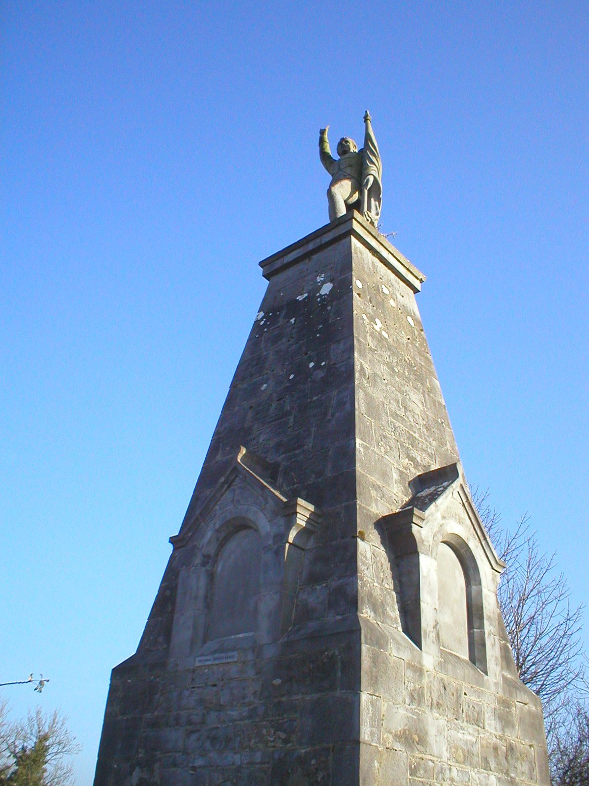 Man-made underground passage in Carricknagat (tirerrill By.)Man-made underground passage · 431 yd
 Sweat HouseSweathouse · 592 yd
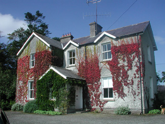 The Old Rectoryrectory/glebe/vicarage/curate's house · 829 yd
 Giants GraveArchaeological place · 895 yd
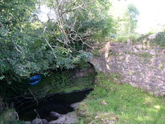 Lurgan Bridgebridge · 1190 yd
 Drumcondra Castle (in Ruins)Castle, tower house · 1424 yd
 CastleCastle, motte · 1520 yd
 Field MapleField Maple · 2.5 mi
 European ashEuropean ash · 2.9 mi
 Slishwood Island WestIslet · 3.4 mi
 Bunowen BayBay · 3.4 mi
 Slishwood Island EastIslet · 3.6 mi